Moonee Ponds Creek Trail
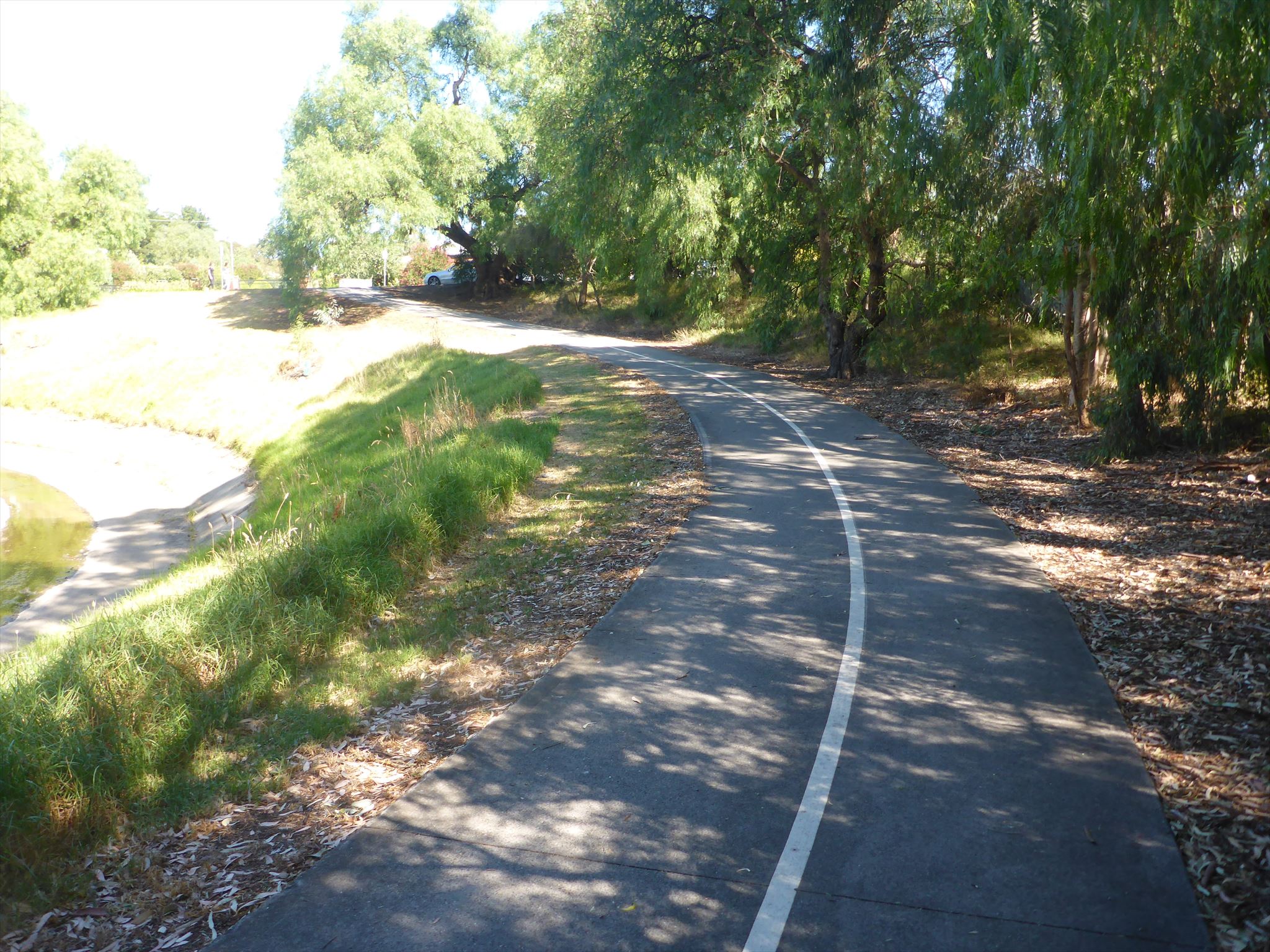
The Moonee Ponds Creek Trail is a shared pedestrian and cyclist path. The Trail generally follows the Moonee Ponds Creek from Woodlands Historic Park, near Melbourne Airport, to Footscray Road, Docklands.
The Trail often crosses under CityLink as it winds its way through the northern suburbs. The trail runs for approximately 25km.

This series will be released over time along the Moonee Creek Trail. There are already a number of caches along the Moonee Ponds Creek trail so this series will add a few more and fill in some of the gaps between the caches. This series can either be done by bike (the quickest) or walking.
We hope you enjoy the trail. BYO pen!
Near Pascoe Vale Road
This is the first of the series and is just after the track goes under Pascoe Vale Road.
Trail away from the city
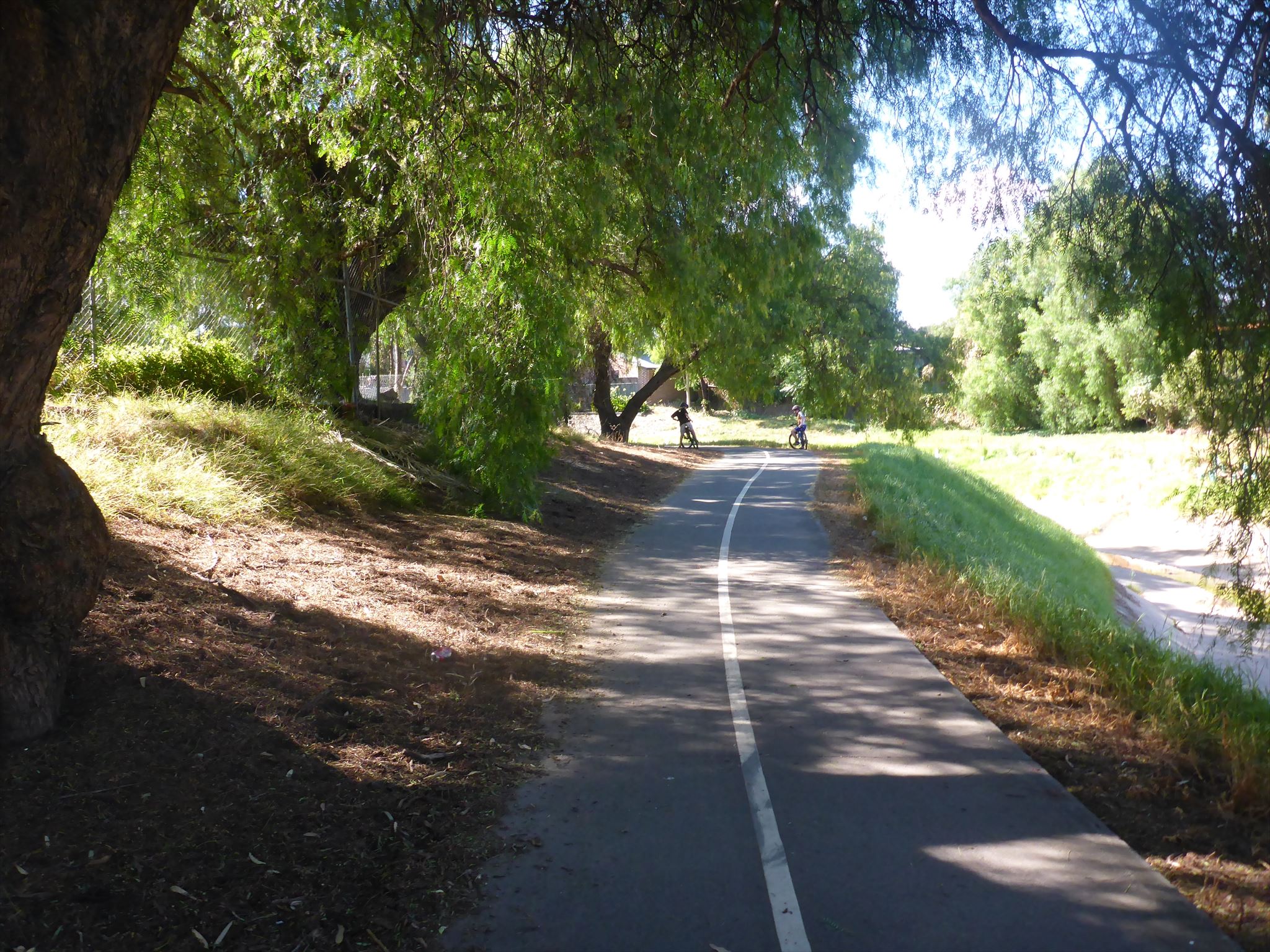
Trail towards the city