The Find Your Chesapeake GeoTour
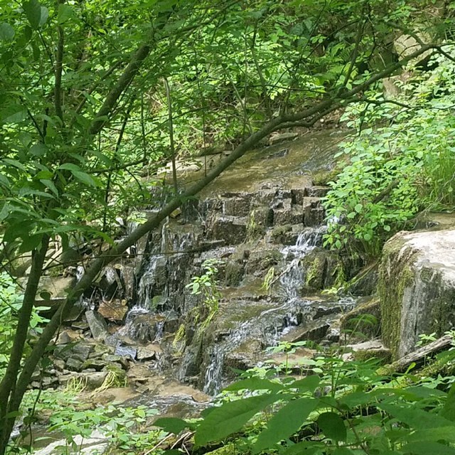
Susquehanna State Park

The Chesapeake Bay, the great rivers that feed it, and the vast landscapes surrounding them are at the center of our nation’s story. More than 2,600 miles of designated water trails, 55 units of the National Park System, and scores of state parks, local parks, and wildlife refuges are found within the Chesapeake Bay watershed. Each takes part in conserving special places for visitors, residents, and future generations. The Chesapeake Bay region is filled with rich history and heritage, opportunities for education and science, and beautiful scenery suitable for explorers of all ages. Join us in discovering the Chesapeake region when you “Find Your Chesapeake” and take advantage of our beautiful treasure.
The Find Your Chesapeake (FYC) GeoTour launched June 9, 2018 with over 60 caches within Maryland, Virginia, Pennsylvania. and Delaware. A trackable geocoin will be awarded to the first 400 geocachers, while supplies last, for locating at least 20 FYC caches. To be eligible for the coin, geocachers must download a passport from the Find Your Chesapeake GeoTour website. Geocachers must find and log at least 20 finds, record the code word from each cache on their passport. After discovering the 20 required caches, geocachers may have their passports validated via mail at the National Park Service, Chesapeake Bay Office located at 410 Severn Ave, Suite 314, Annapolis, MD 21403. Please refer to the passport for complete validation instructions.
Participating in the FYC GeoTour is fun and we hope that many people join in. However, it is not a requirement for logging your find on this cache once you find the container.
Imagine large carvings of fish, human faces, and symbols etched deeply into rock made of geometric shapes, curved lines, circles, dished hollows and diamonds… they are over 10,000 years old… these are the Bald Friar Petroglyphs. Up until the 1920’s, these could be found on Indian Rock at Bald Friar’s Ford. American Indians carved these images into the rock, and in 1926, due to the construction of the Conowingo Dam, Indian Rock was blown up with dynamite and the petroglyphs that survived the blast were collected. Had the petroglyphs not been removed, they would have been buried by flooding of the river once the dam was built. Today, the Chesapeake Conservancy has worked with the the Haudenosaunee in the preservation of these important cultural relics and have moved the petroglyphs to this park. Looking at the petroglyphs, ask yourself “who lived here long before Europeans arrived, what were their lives like, how did the landscape look?”
 Thanks to CodyHollowFarm for helping with this hide.
Susquehanna State Park is open from 9am until sunset. You will need to walk along Strafford Road to get to the trailhead, so please you caution. Please be aware that there are stinging nettles in the area where the geocache is located, but you should be able to access the geocache without bumping into them.