The Find Your Chesapeake GeoTour
Mount Calvert

The Chesapeake Bay, the great rivers that feed it, and the vast landscapes surrounding them are at the center of our nation’s story. More than 2,600 miles of designated water trails, 55 units of the National Park System, and scores of state parks, local parks, and wildlife refuges are found within the Chesapeake Bay watershed. Each takes part in conserving special places for visitors, residents, and future generations. The Chesapeake Bay region is filled with rich history and heritage, opportunities for education and science, and beautiful scenery suitable for explorers of all ages. Join us in discovering the Chesapeake region when you “Find Your Chesapeake” and take advantage of our beautiful treasure.
The Find Your Chesapeake (FYC) GeoTour launched June 9, 2018 with over 60 caches within Maryland, Virginia, Pennsylvania. and Delaware. A trackable geocoin will be awarded to the first 400 geocachers, while supplies last, for locating at least 20 FYC caches. To be eligible for the coin, geocachers must download a passport from the Find Your Chesapeake GeoTour website. Geocachers must find and log at least 20 finds, record the code word from each cache on their passport. After discovering the 20 required caches, geocachers may have their passports validated via mail at the National Park Service, Chesapeake Bay Office located at 410 Severn Ave, Suite 314, Annapolis, MD 21403. Please refer to the passport for complete validation instructions.
Participating in the FYC GeoTour is fun and we hope that many people join in. However, it is not a requirement for logging your find on this cache once you find the container.
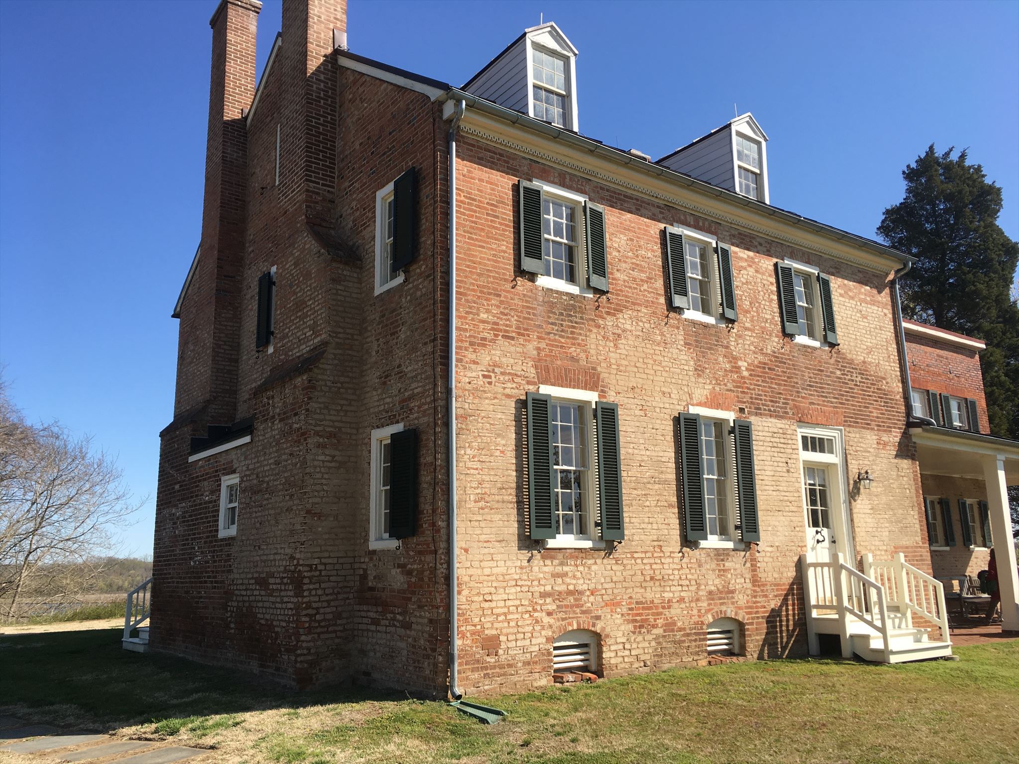
For over 8,000 years, American Indians have occupied this area. Early hunters and gatherers lived off the land and Upper Patuxent River to harvest natural resources. Later, American Indians farmed the land and lived in towns along the river until the 15th century. When European settlers arrived here in the early 1600’s, the American Indians were dispersed. Soon thereafter, this place became an English colonial town booming with trade and expansion. Mount Calvert later became a ferry landing and a tobacco plantation for over a century. Today, you can find an interpretive trail and museum exhibit that tell the rich story of Mount Calvert’s past and look at artifacts that illustrate the story.
The Geocache
This geocache is a seven stage mutli-cache where the first six stages are information signs which will be used to help you figure out the final location.
Stage 1 - "Mount Calvert Historical and Archaeological Park" N38 47.011 W76 42.973
- B = The number in the first paragraph heading.
Stage 2 - "Woodland Indians" N38 47.076 W76 42.990
- F = The second digit in the date that Theodor de Bry did the engraving of the Woodland Period village.
Stage 3 - "African Americans at Mount Calvert" N38 47.087 W76 42.922
- A = The last number in the amount of Acres of Land at the Chancery Sale.
Stage 4 - "Chesapeake Beach Railway" N38 47.068 W76 42.911
- D = The last digit in the year that Mount Calvert became an official stop for the Chesapeake Beach Railway.
Stage 5 - "Mount Calvert Federal Period" N38 47.102 W76 42.881
- E = According to the floor plan, how many additions were there to the house?
Stage 6 - "Billingsly Point" N38 47.122 W76 42.880
- C = # of letters in the last name of the man who purchased Billingsly in 1687?
The coordinates for the final location are N38° 47.ABC, W76° 42.DEF
The checksum of ABCDEF is 27.
 Thanks to QUE3NBE3 and BlurryFac3 for helping with this hide.
The grounds at Mount Calvert Historical and Archaeological Park are open every day from dawn until dusk for drive-in and walk-in visitors. The site is also accessible by water via canoe and kayak. The house and museum exhibit are open April through October on Saturdays from 10 am to 4 pm, and on Sundays from 12 noon to 4 pm.