Moonee Ponds Creek Trail
The Moonee Ponds Creek Trail is a shared pedestrian and cyclist path. The Trail generally follows the Moonee Ponds Creek from Woodlands Historic Park, near Melbourne Airport, to Footscray Road, Docklands.
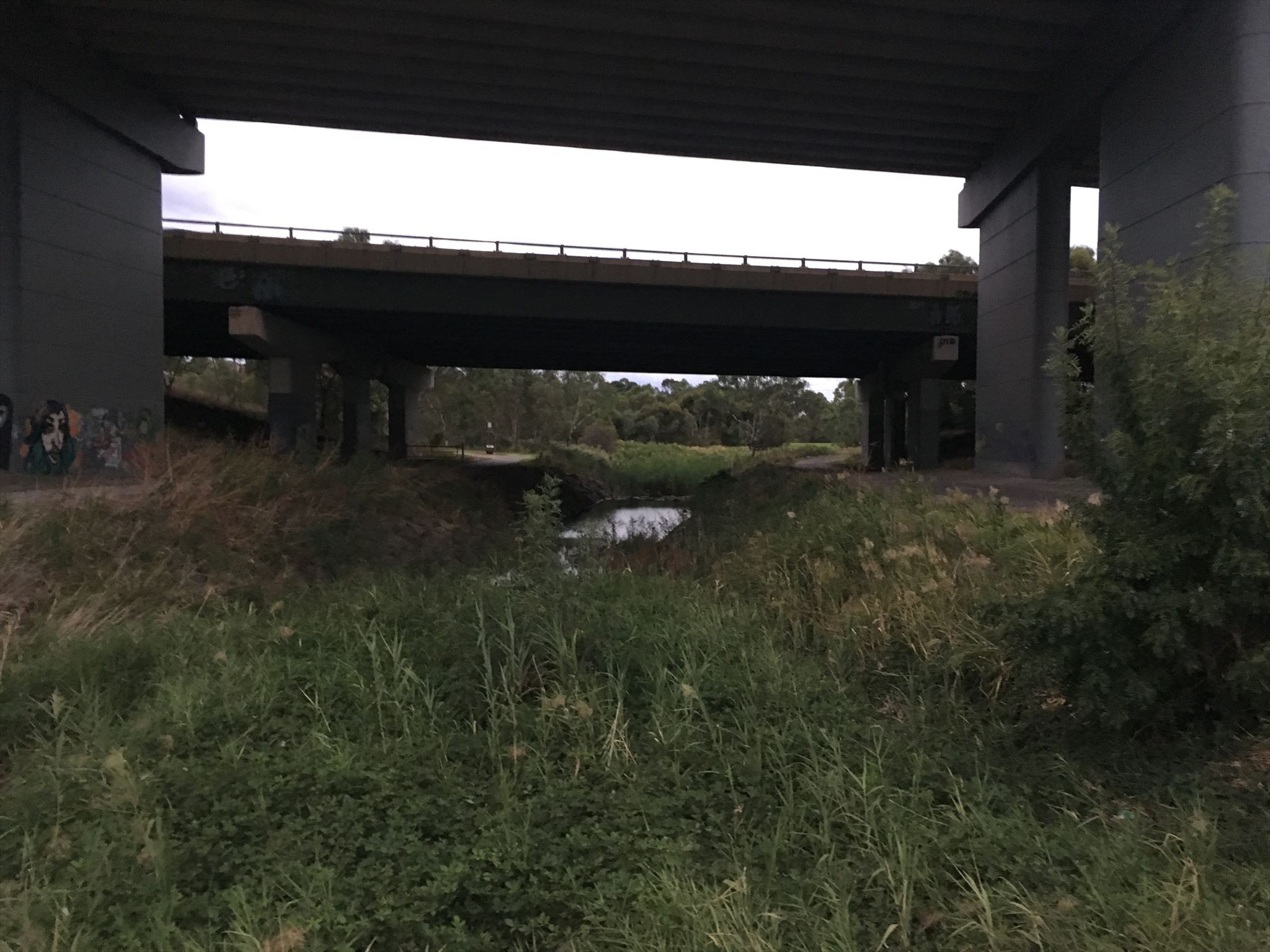
The Trail often crosses under CityLink as it winds its way through the northern suburbs. The trail runs for approximately 25km.

This series will be released over time along the Moonee Creek Trail. There are already a number of caches along the Moonee Ponds Creek trail so this series will add a few more and fill in some of the gaps between the caches. This series can either be done by bike (the quickest) or walking.
We hope you enjoy the trail. Be sure to checkout all the other cool caches along the creek which can be attempted while doing this series. BYO pen!
Western Ring Road
The location is just north of the underpasses of the Western Ring Road. A very busy and important freeway also known as the M80 and the Metropolitan Ring Road. This section was developed back in the 1990's and has been updated numerous times, with the more recent in the mid 2010's to include additional lanes and split traffic flows to Pascoe Vale Road exit. Luckily you don't have to cross it just easily pass under it where you can continue along the Moonee Ponds Creek towards West Meadows.
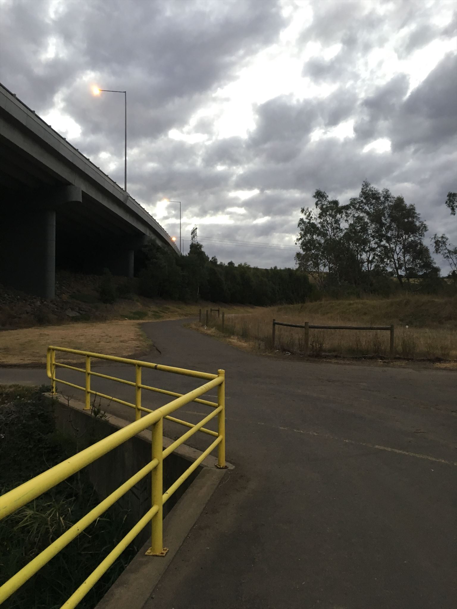
Trail away from the city
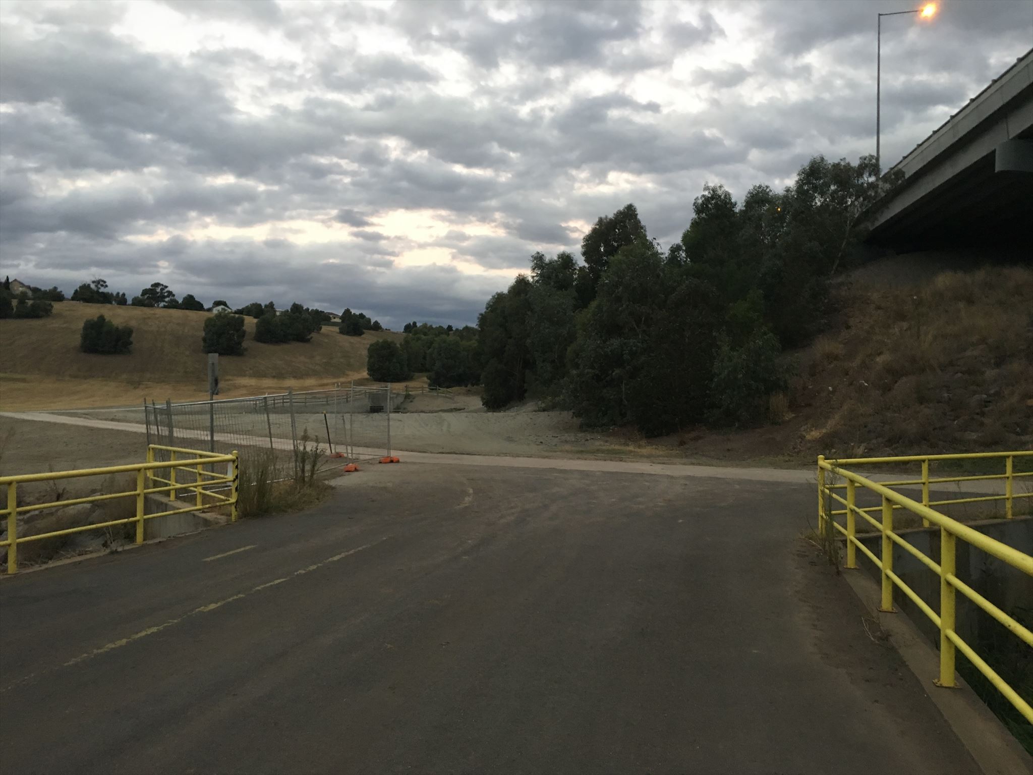
Trail up toward Jacana
Trail towards the city