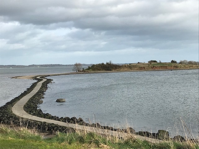
Island Hill is on the north shore of Strangford Lough between Newtownards and Comber. It is an important site for migrating Brent geese and other wildfowl and waders. The couple who introduced us to geocaching are keen ornithologists so this cache combines both hobbies.
 <p><b>
Island Hill.
The posted coordinates will take you to an information board where you can find the answers to the following questions.
The final cache is at N54 32.ABC W005 41.DEF
A = Telephone number of the Tourist Information Centre in Newtownards: (3rd digit)
B = The fraction of the population of Brent geese that are Arctic migrants: denominator - numerator.
C = Strangford Lough has an area of ??? km2 (2nd digit)
D = The number of birds + the number of arrow heads on the board.
E = The number of places named on the map that begin with 'G'.
F = The decade that farming ceased on Rough Island. (3rd digit)
Check sum: A + B + C + D + E + F = 29
The cache is a magnetic nano so BYOP and tweezers may be required. There is plenty of car parking available.
Beware of potholes on Ringcreevy Road and watch the tides if you wish to find the caches on nearby Rough Island as the causeway is occasionally submerged.