The container IS NOT at the posted coordinates. But they are available here.
This geoart series will be somewhat different from others. Because of our interest in the Oklahoma Land Run we've compiled quite a bit of history from the Oklahoma Historical society. It's loosely laid out in a chronological order through the series from the O to the L finally to the R. The Oklahoma outline portion of the art will be general history questions and state facts. We hope you enjoy the history lesson and journey.
Many of the containers are preforms, some are not. Most are up off the ground, some are not. Some have parking pull offs, some do not. Some are on paved roads, many are not. Please use common sense during periods of inclement weather.
By contrast, Oklahoma began small and expanded into the present day state. Oklahoma Territory was originally known as the Unassigned Lands, and at the time of the Land Run of 1889 it was officially titled the Oklahoma District and popularly called the "Oklahoma Lands," an area of about two million acres. It consisted of the six counties of present central Oklahoma: Oklahoma, Logan, Cleveland, Kingfisher, Canadian, and Payne. Over the following eighteen years Oklahoma added parcel after parcel of land to finally emerge in 1907 as a state. When Oklahoma Territory was created by the Oklahoma Organic Act of May 2, 1890, the Public Land Strip, or No Man's Land (the Panhandle), was tacked on to become Beaver County (later divided into three counties). That act also carried a provision that assured the periodic expansion pattern. Adjoining Indian reservation lands were to be added to the territory if and when the reservations were dissolved through the process of allotting the lands to individual tribal members under the provisions of the General Allotment (Dawes) Act of 1887.
In 1891 the small Indian reservations on the eastern border, the Sac and Fox, Potawatomi, Iowa, and Shawnee, were broken up through allotment. Each man, woman, and child of the tribe received 160 acres of land. Any so-called "surplus" land remaining was purchased from those tribes and put on the block for sale to settlers who, as in the first opening, became involved in a horse race for land. Unlike the first race, they were required to buy the land at $1.25 per acre after filing on it. Two more counties, Lincoln and Pottawatomie, were added, and portions of three of the original counties, Logan, Cleveland, and Payne, expanded their borders toward the east.
Continued in Chapter 24.
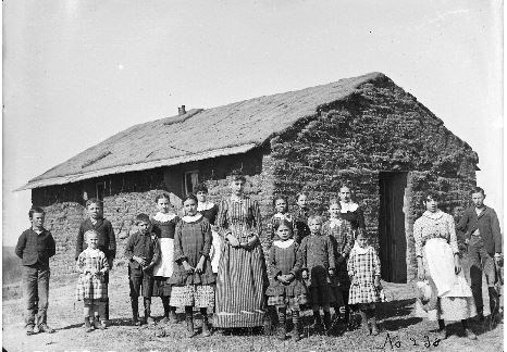
Material and photos courtesy of: Oklahoma Historical Society Research Center
N 35 18.271, W 096 32.068