The container IS NOT at the posted coordinates. But they are available here.
This geoart series will be somewhat different from others. Because of our interest in the Oklahoma Land Run we've compiled quite a bit of history from the Oklahoma Historical society. It's loosely laid out in a chronological order through the series from the O to the L finally to the R. The Oklahoma outline portion of the art will be general history questions and state facts. We hope you enjoy the history lesson and journey.
Many of the containers are preforms, some are not. Most are up off the ground, some are not. Some have parking pull offs, some do not. Some are on paved roads, many are not. Please use common sense during periods of inclement weather.
On the eve of statehood the Oklahoma Territory occupied the western part of present Oklahoma, and the older Indian Territory occupied the eastern area. Just prior to 1907 statehood the Indian Territory nations, one by one, were pressured into accepting severalty agreements to create allotments and to destroy their reservations.
In 1907, at the time Oklahoma became the forty-sixth state, it could have been described as a patchwork quilt of destroyed Indian reservations. Its citizenry consisted of southern cotton farmers, midwestern wheat farmers, and western cattlemen, with minorities of American Indians, African Americans, and ethnic Europeans. The twentieth century brought new urban "settlers" from Asia, the Middle East, and Latin America, making Oklahoma a state of many and varied cultural traditions.
Continued in Chapter 28.
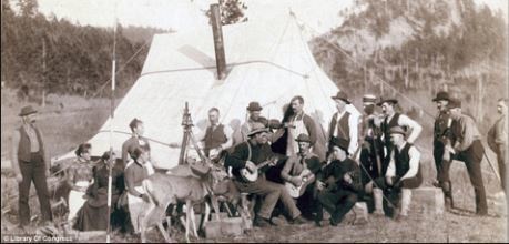
Material and photos courtesy of: Oklahoma Historical Society Research Center
N 35 18.265, W 096 31.787