The Fauntleroy neighborhood is situated in the southwest corner of West Seattle, facing Vashon Island and the Olympic Mountains.
The Neighborhood
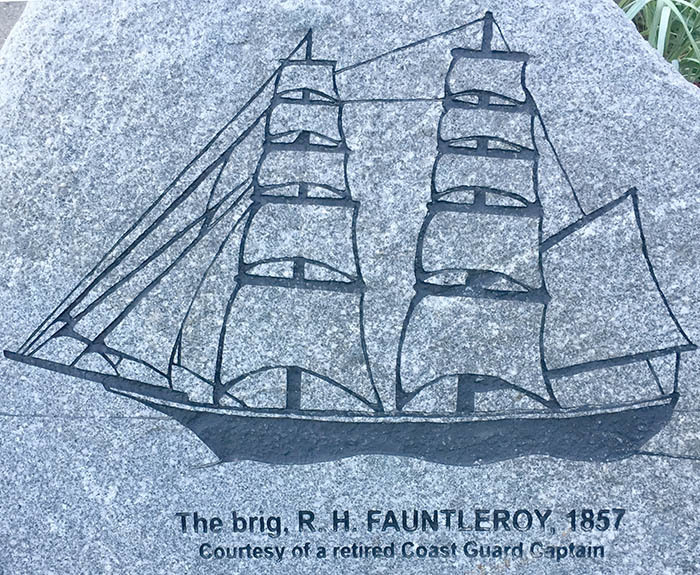
Although the area was used by Native Americans long before white explorers and pioneers first arrived, it received its current name from U.S. Navy botanist and geographer Lt. George Davidson, who was taking soundings in the region in 1857 and anchored his brig in the cove after taking in spectacular views of the mountains to the west and observing Native Americans camping, fishing and clamming along the shore.
Seeing that the area was unnamed on his charts, Davidson christened the cove after his mentor, future father-in-law and namesake of his brig, Robert Henry Fauntleroy. From this location Davidson also christened several peaks of the Olympic Mountains, including Mt. Ellinor (after his future wife Ellinor Fauntleroy), The Brothers, and Mt. Constance, also after members of the Fauntleroy family. On the same surveying trip Davidson also famously misidentified the region's madrone trees as magnolias, from which another Seattle geographical landmark and neighborhood received its name.
The neighborhood that eventually sprung up in the area in the late 1800s took its name from the cove. In the early years it was fairly isolated, with a small business district, church and a shingle mill. As Seattle grew, Fauntleroy gradually became more connected to the surrounding areas, with new roads, streetcar service to Alaska Junction starting in 1907 and ferry service to Vashon and the Kitsap Peninsula starting in the 1920s.
Sources and additional reading: HistoryLink, SWSHS
The Cache
Cove Park at Fauntleroy Ferry Terminal is part of a King County wastewater pump station project. The actual pump station is the large concrete structure to the south of the cache. It features some interpretive signage explaining the importance of the infrastructure for protecting Puget Sound from pollution. The adjacent strip of parkland provides approximately 70 feet of public shoreline access, a beach and a hand boat launch, as well as a lot of fun artwork along the path.
For most of the day there is no parking immediately adjacent to the park - do not block the ferry waiting lane by mistaking it for a parking lane! If you are coming by car, the nearest parking is on upper Fauntleroy Way SW near SW Henderson St.
Park hours are dawn to dusk. No need to disturb the plantings or leave the path when searching.