YOU ARE NOW ENTERING NELSON MANDELA BAY MUNICIPALITY
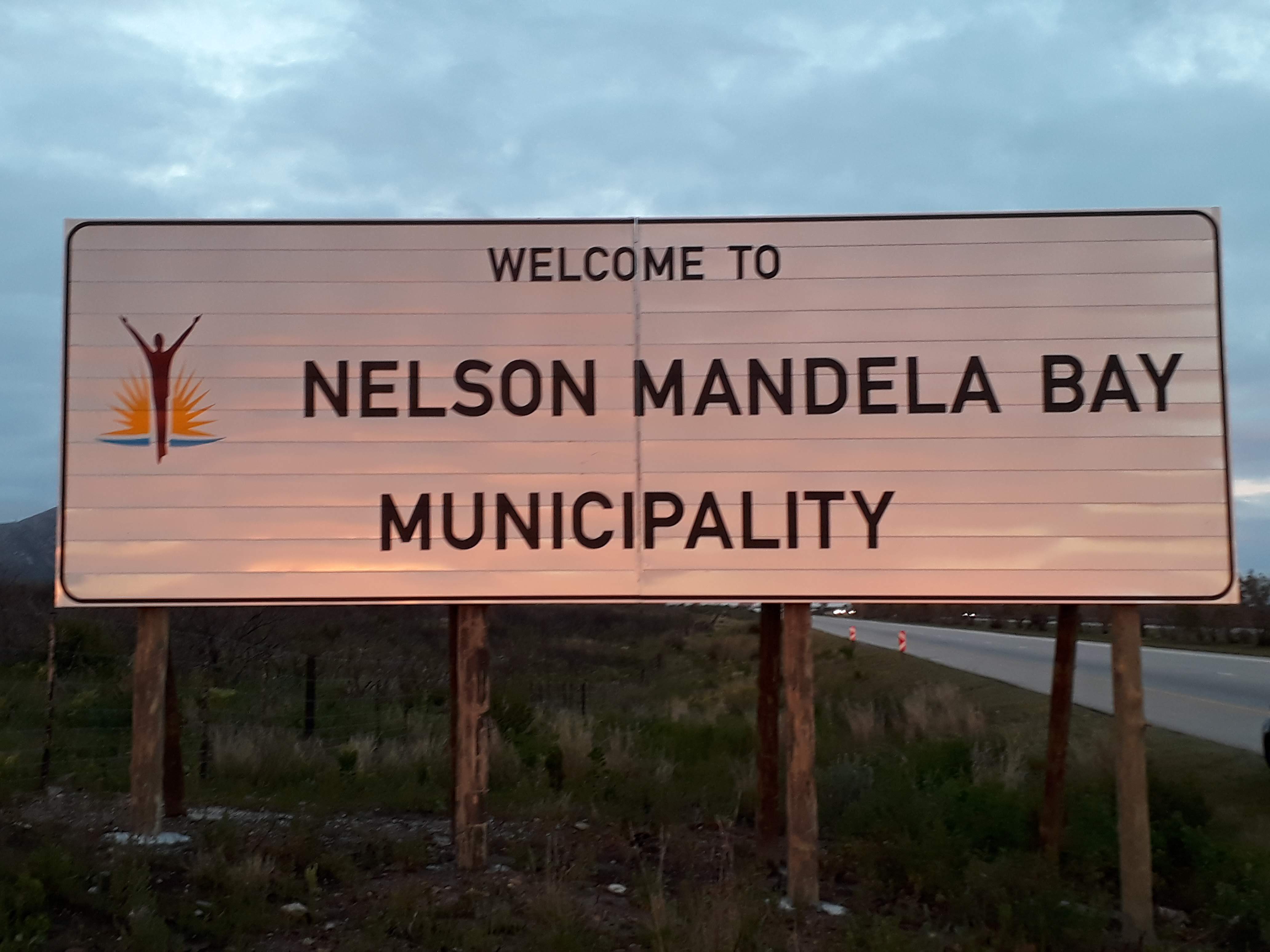
This sign along the N2 highway depicts the municipal border crossing between the Kouga Local Municipality and the Nelson Mandela Bay Municipality.
Please park well off the road, there is enough parking space at GZ.
- The Nelson Mandela Bay Metropolitan Municipality is a Category A municipality, established on 5 December 2000
- Its boundaries are formed by Cassie Mountain View in the north, Cape Recife in the south, Sundays River Mouth in the east, and Van Stadens River Mouth in the west.
- Area: 1 957km²
- Cities/Towns: Bethelsdorp, Bloemendal, Blue Horizon Bay, Clarendon Marine, Despatch, KwaNobuhle, Motherwell, Port Elizabeth, Summerstrand, Swartkops, Uitenhage
- Main Economic Sectors: Manufacturing (25%), community services (23%), finance (23%), trade (13%), transport (13%)
Although this sign is not exactly on the border, as the Van Stadens River is the border and no stopping is allowed on the bridge, it still acts as the notification of you entering another Municipality.