SLO
Luče štejejo 299 prebivalcev in so del krajevne skupnosti Žalna. Od Grosuplja so oddaljene 8 km. Gručasta vas v Dolenjskem podolju leži na severovzhodnem robu majhnega kraškega polja Luškega dola, ki ga omejujeta slemeni Škrjanke (610m) na severovzhodu in Bukovja (Mali Vrh, 552m) na jugozahodu. Vasica ima več zaselkov: Na Šoli, Luški Cestarji, Žlebinarji in Staje.
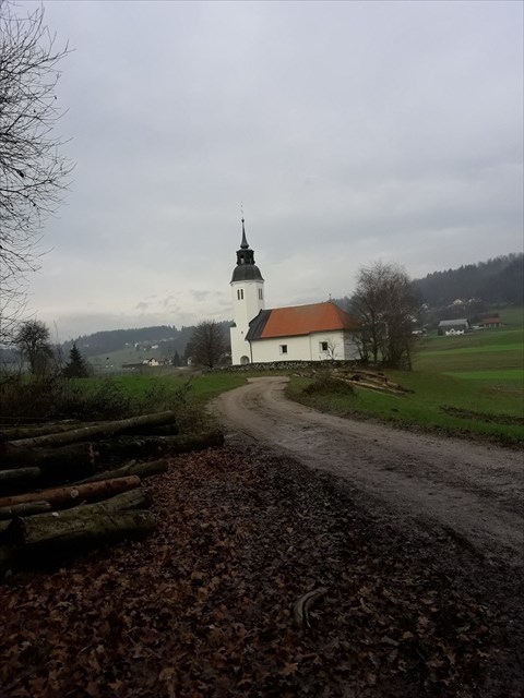
Vas je prvič omenjena že leta 1062, v zvezi s stiško posestjo. Pripoved ljudi pa pravi, da naj bi bili Lučanje potomci edinega preživelega moža s priimkom Pajk, ki se je pred Turki skril v kraški jami. Iz Starega gradu, kraške jame na zahodnem robu polja, priteka poplavna voda, ki se izliva v potok Radenščico, ta pa delno ponikne pri cerkvi sv. Ožbolta. Radenščica prihaja podzemno iz Radenskega polja, se izlije iz jame in dere po umetno narejenih strugah ter nato na južnem robu Luškega dola podzemno odteka v Krko. Ob poti pusti tudi opustošenje, saj ob izlivu poplavlja bližnje travnike, hiše ter gospodarska poslopja. Pri Stajah je kraška jama Stupnikova Lisičina.
O zakladu:
Zaklad se ne nahaja na podanih koordinatah. Koordinate dobite, če rešite nalogo.
Janez že dolgo ni letel z motornim padalom, zato je pozabil upoštevati veter, ki je tisti dan pihal, s povprečno hitrostjo 12,045 km/h , v smeri 131°56,75'. Odpravil se je iz kraja A proti kraju B . Hitrost letenja glede na zrak je bila 50 km/h. Ko je pristal, mu je bilo jasno, da ni prišel do točke B.
Le kam je prišel?
ENG
Luče counts 299 inhabitants and is part of the Žalna local community. It lies 8 km from Grosuplje. Willage in the Dolenjska Valley lies on the north-eastern edge of the small karst field of the Luško dol, which is bounded by the ridge Škrjanke (610m) in the northeast and Bukovo (Mali Vrh, 552m) in the southwest. The willage has several parts: At the School, Luški Cestarji, Žlebinarji and Staje.
It was mentioned for the first time in 1062 in connection with the Stična property. Old people used to say that the gestation should be the descendants of the only surviving man with the surname Pajk, hidden in front of the Turks in the karst cave. From the Old Castle, a karst cave on the western edge of the field, flood water flows into the stream Radenščica, which partly disappears near the church of St. Ožbolt. Radenščica comes underground from the Radenska field, spills out of the cave and drains through artificial scaffolds, and then submerges into the Krka River on the southern edge of the Luško dolje. On the way, it also leaves devastation, because at the outbreak floods nearby meadows, houses and commercial buildings flood. In Staja there is the karst cave Stupnikova Lisičina.
About the cache:
The cache is not located at the given coordinates. You get coordinates if you solve the task:
 Janez did not fly with the motor parachute for a long time, so he forgot to take into account the wind that day was blowing, with an average speed of 12,045 km/h, in the direction of 131° 56.75'. He left the A point and go towards B point. The airspeed of the flight was 50 km / h. When he landed, it was clear to him that he did not come to the B point.
 Where was he landed?
