Pynchester Moat is a Scheduled Ancient Monument on the River Pinn just east of Copthall Road West. Although usually dry in the summer months, the moat surrounding the location of a manor house can still be seen. Excavations of the site between 1966 and 1969 found pottery and an oven dating back to the 14th or 15th century. It is believed the manor house at the centre of the moat was "Pynchester", a building owned by the Hastings family in the 16th century. The moat is a point of interest on the Celandine Route, a 12-mile (19 km) walk along the River Pinn from Pinner to the Grand Union Canal at Cowley.
This is an easy one stage multi.
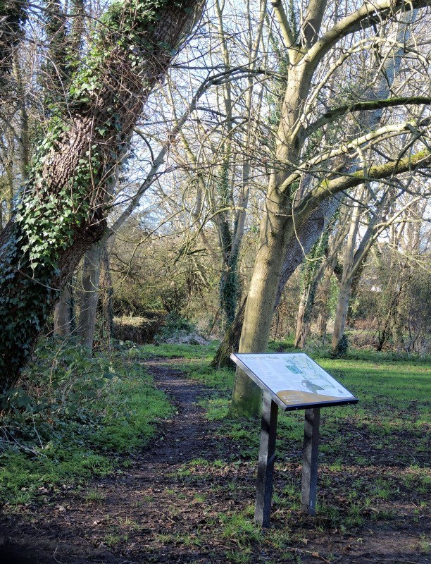
The given coordinates will take you to an Information Board about Pynchester Moat. (Although it has been distorted by a falling tree!)
Read the information and then answer the following questions:-
Looking at the map, how many farms are shown? This is A.
Pynchester Ferme was mentioned in a deed of 1 5 B 1.
What is the date of the Ordnance Survey map? This is 1 8 C D.
What was the shape of the hearth? Convert the letter to a number (eg A=1) This is E.
The cache can be found at N51 34. A D C W000 27. (B-1) B (E-A-B)
NUM CHECK? Add up all the individual numbers in the calculated coordinates. They should equal 45.
It's now just a short walk to the cache itself. No need to cross the river. Go get it!
Congratulations to Sarasdor for being the first to find!