The Quoile Pondage was created from the marine estuary in 1957 when a tidal barrage was built. It is now a great natural habitat for flora and fauna with an abundance of wildfowl and migrating waders. Ornithologists are encouraged to bring their binoculars, while photographers should bring their cameras to capture the array of seasonal colours.
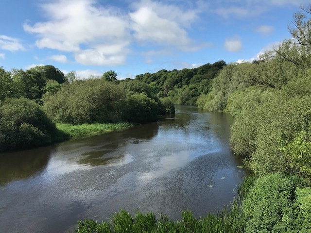
The River Quoile
This series of caches will bring you along a stretch of the riverbank from the trailhead to the main road from Downpatrick towards Belfast. There are two possible parking places. There is limited space at Parking Waypoint A., which is just inside the signposted public pathway. More parking spaces, and picnic tables, are available at Parking Waypoint B., but care should be taken when crossing the roads towards the trailhead.
The cache is a 12cm preformed tube in a tree so bring a ‘litter-picker”to retrieve it. (There is not usually much rubbish along the trail but, if you have a bag, you can perform your own CITO en route!)
Enjoy the walk along the river and please mention any birds that you see. Please add some nice photographs to the gallery.