The Quoile Pondage was created from the marine estuary in 1957 when a tidal barrage was built. It is now a great natural habitat for flora and fauna with an abundance of wildfowl and migrating waders. Ornithologists are encouraged to bring their binoculars, while photographers should bring their cameras to capture the array of seasonal colours.
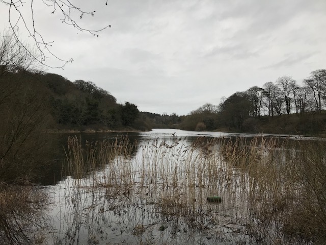
The River Quoile
This series of caches will bring you along a stretch of the riverbank from the trailhead to the main road from Downpatrick towards Belfast.
There are two possible parking places. There is limited space at Parking Waypoint A, which is just inside the signposted public pathway. More parking, and picnic tables, is available at Parking Waypoint B. but care should be taken when crossing the roads towards the trailhead. In the event that the river is very high and it is not possible to walk from Parking Waypoint A., then there is parking across the road from the posted coordinates.
The cache is not at the posted coordinates. If you are planning to compete the series then you will have parked at Car Park A. If however you only wish to do this cache then you may have parked at Car Park C. There is access to the Public Footpath by crossing the main road. You will find Stage 1 and Stage 2. along the river side walk. The cache can be found at:
N54 20.ABC W005 43.DEF
Stage 1. N54 20.426 W005 43.092 Record the first date on the plaque.
A = The 3rd digit divided by 2.
B = The 2nd digit.
C = The 1st digit plus the 3rd digit.
Stage 2. N54 20.186 W005 43.340 Record the first date on the plaque.
D = The 4th digit.
E = The 3rd digit minus the 4th digit.
F = The 2nd digit minus the 4th digit.
Please record any birds that you spotted along the trail and please had photographs to the gallery to show the changing colours throughout the year.