Over the years this area has been continually expanding to fit more and more services into the area. It is very interesting to look back over old maps and photos of the area and see the difference over the years.
Google Earth gives a moving timeline for the last 15 or so years. Top of the South Maps provides aerial photos from the 1940's, 1980's and current. Both show large reclamation areas. You have to wonder where the water goes now.
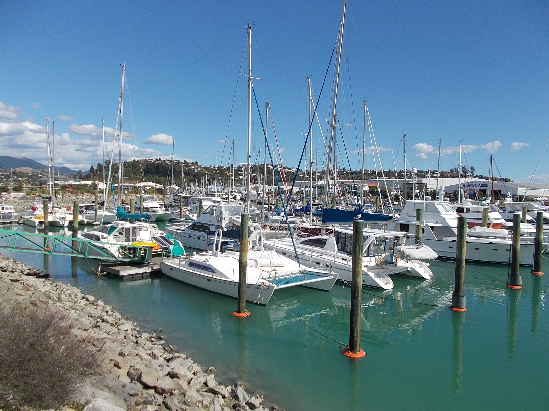
Sit and watch the private boats going in and out and enjoy the sunshine.
There's a cache here to be found too. It's a nano so you will need a pen and tweezers. Please be careful when replacing it so it doesn't show.