Posted coordinates is about the starting location of an Adventure Lab: read on!
Terrain is rated at 3 stars because of the total distance. Final is T1.5
"Creek hard to find and hard to view"
That's a title of an article from The Press in 1985 referring to St Albans Creek. I can confirm that 34+ years later this statement still stands, and is probably even more true now. The vast majority of the creek flows through back and front yards of residential properties, or is piped underground, below carparks, driveways and streets.
I have made this geocache to shine light on this wee creek and to explore it from headwaters to the mouth. As well as to look into the history of St Albans Borough that existed separately from Christchurch city from 1880s to the beginning of 20th century. I believe that this under-noticed creek actually plays an important role in draining this low-lying suburb and keeping it's residents' feet dry.
This will take you on a journey best suited for a bicycle ride but easily walkable as well. The total distance is about 8km give or take (2.5km Adventure Lab part + 5.5km Mystery Cache part).
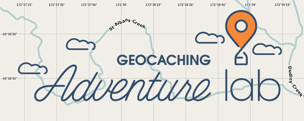
Now, you will notice that the waypoints for this mystery cache start with the 6th. That is because the first 5 locations are to be done via Groundspeak's new Adventure Lab app. This cache was intended as only a "bonus cache" to the Adventure Lab that would reward you with the final coordinates for the geocache upon completion.
Unfortunately, while in the making I realized that the Adventure at this stage is limited to 5 locations. That was not enough and I didn't want to end this journey abruptly, so I have included the rest of the locations as waypoints within this cache. This is essentially a simple virtual-stage multi-cache but I have made it a Mystery due to the Adventure Lab thing.
I highly recommend doing this cache in one go and in the order of the waypoints, starting with the Adventure lab near the posted coordinates and moving on to the waypoints 6-12 from this listing. This way, you will have followed St Albans Creek from start to finish as I intended to with the Adventure originally.
To get started with Adventures, you will need a smartphone and to either scan the QR code below or follow the link to set up the app and start adventuring.
https://labs.geocaching.com/goto/swamp2suburbs
A - The Swamp: Start of St Albans Creek
B - Weston Rd - First encounter of the creek's name
C - Springfield
D - Fitzroy
E - Hawkesbury
F - Te Wepu (The Webbs)
G - Abberley Park
H - Rutland St Church
I - St Albans School
J - English Park
K - Bishop St
L - Geraldine St
M - The Suburbs: Confluence
Checksum A to M is 37
A*B*C*D*E*F*G*H*I*J*K*L*M=UVWXYZ
Final: S 43° 3Y.(U+X)(X-U)(V)' E 172° 3W.(V+Z)(W-U)(X)'
Bonus question for your log - how many times did you cross St Albans Creek on your route? If you did it how I had intended it to be, you should have crossed it 16 times. What was your count?