I've wanted to explore the South Yuba River Trail since I moved to the area. I wanted to explore from the town of Washington to Purdon Crossing. I've been piecing together day trips that have covered just about the entire trail. I've tried all the access points, including the Humbug trail, the Missouri Bar trail, the Overlook trail. All of them are shortcuts to sections of the river. You can also access the trail from the town of Washington, and Edwards Crossing and Purdon Crossing. This section of caches can most easily be accessed from the town of Washington.
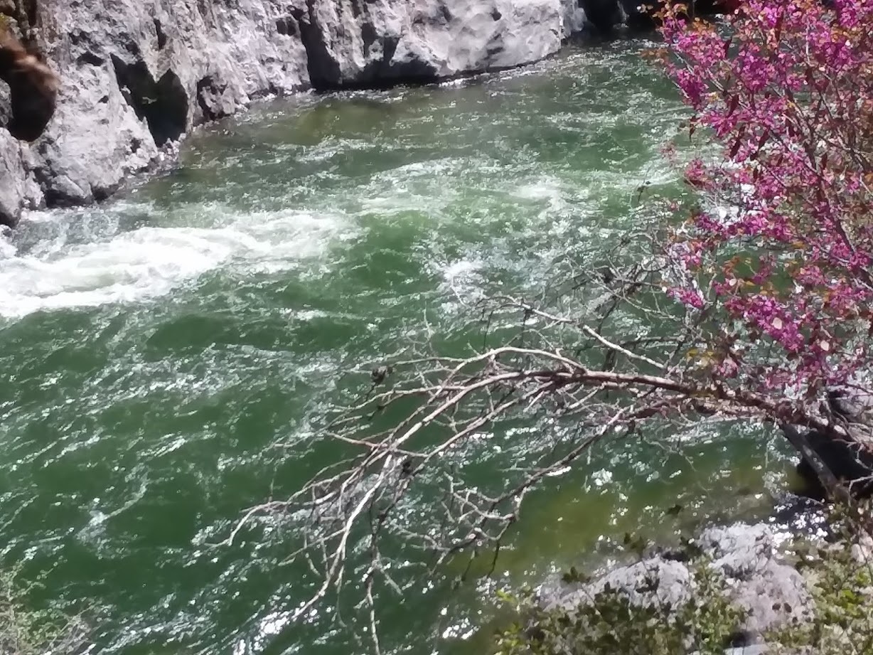
The Spring is the most spectacular with the high river and the dangerous runoff. Summer can be really hot and buggy, and the snow might still be melting, like this year. Fall can be a great time to take a swim in the water, the water is lower and warmer. Winter is great for hiking but the days are short and often wet. The trail runs from Washington to Edwards crossing on the North side of the river, From Edwards to Purdon, the trail is on the south side of the river.
There is a camping spot near this hide, with easy access to the river. Also a nice little Falls (during the Spring) from a tributary..
Trail Access points for day trips
-
Town of washington then to Trail head, parking spot: N 39 21.326 w 120 48.510
-
Relief hill, just below North Bloomield, trailhead, parking spot for top of Missouri Bar trail: N 39 21.580 w 120 53.570
-
Humbug Trailhead(in Malakoff Diggins park): N 39 21.924 w 120 55.394
-
Edwards crossing South Yuba trailhead: N 39° 20.362 w 120° 58.259 Use this to go upriver.
-
Edwards Crossing: N 39 19.801 w 120 58.996 Use this to go downriver.
-
Purdon Crossing: N 39 19.635 w 121 2.882 Use this to go upriver
-
To go from Purdon crossing to highway 49 crossing there is no trail. You can hike/wade it in the summer after the water level has gone down, but it can take 8 hours. I put some high terrain caches down there in 2016, but then the heavy rains came and I wasn’t able to check them so I archived them. However, from Highway 49 crossing you can take either Hoyts trail or East Independence trail to make it to miners tunnel.
-
There are a couple other spots that I haven’t tried yet. They include
-
Trail above The overlooked overlook (GC6H4VH), although I think the Edwards crossing trailhead is just as close.
-
Trail above Yuba River Trail--Beach Spot (GC8AJ77), comes from Round Mountain
-
Trail above Missouri Bar Trail, from Scotts Flat and Highway 20 side, although I’ve run into numerous deadends trying to find the trail down. It would be great to find this shortcut to this part of the river.
Camping spots-- The best overnight camping spots are near the trail crossings, Humbug trail, Missouri Bar trail, Washington trailhead, and Edwards crossing. Between these locations, often the trail climbs up to the ridge above the river and is half a mile down steep hills away from the river.
If you want to camp, you probably want a mid hike camping spot, I’ll list 2.They are basically flat level places near the river with fire pits from previous campers. There are multiple camping spots near each of these locations
-
Near the bottom of the Humbug trail, the South Yuba primitive camp.N 39° 20.168 w 120° 55.631
-
Near the bottom of the Missouri Bar trail N 39° 20.711 W 120° 52.873