Lødingen Letterbox
Dette er en Letterbox cache. Du får oppgitt start koordinatene og må bruke informasjon i beskrivelsen for å finne sluttpunktet. Cachen inneholder en loggbok og et stempel som ikke må fjernes fra cachen.
Langt tilbake i tiden var det plassert ei flaggstang her. Men i tidligere tider ble stanga brukt til helt andre formål enn i dag. Det var ei signalstang.
Lødingen før 1900 besto av området ved kirka. Havna var naturlig nok knyttet opp mot prestegården. Like utenfor Flagghaugen var havneområdet Lødingensjøen. Dette var ikke noe lun havn sammenlignet med Lødingen havn i dag.
Når rutebåter passerte, og det var gods eller passasjerer som skulle gå om bord i Lødingen, ble det heist et signalflagg som varslet rutebåten at den måtte gjøre stopp. I ei tid uten andre varslingsmåter, var dette både nødvendig og effektivt. Flagghaugen lå godt synlig til fra havet.
Det var presten som hadde ansvar for å frakte gods, post og passasjerer om bord og i land fra rutebåten. Presten hadde egen åttring, og denne «prest-åttringen» som brukt til formålet. Det var ikke kai ved Lødingensjøen. Om bord og i land frakting måtte skje via åttringen.
Kilder:
https://turorientering.no/lodingenil/kulturminner/flagghaugen/ https://www.flickr.com/photos/national_library_of_norway/6376430359/
Fra infoskiltet må du bevege deg 53 meter i retning 155,6 grader.
Lødingen Letterbox
This is a Letterbox cache. You are given the starting coordinates, but have to use information in the cache description to find where the cache is hidden. The cache has a log bok and a stamp that must not be removed.
The starting point is at the info sign close to the flagpole. This area is called «Flagghaugen».
Far back in time, a flagpole was placed here. But in the past, the pole was used for completely different purposes than today. It was a signal pole.
Lødingen before 1900 consisted of the area at church. The harbor was naturally attached to the vicarage. Just outside “Flagghaugen” was the harbor area “Lødingensjøen”. This was not a sheltered harbor compared to Lødingen harbor today.
When liner boats passed, and there were goods or passengers going aboard at Lødingen, a signal flag was raised that alerted the liner that it had to stop. In a time without other means of warning, this was both necessary and effective. The flag was well visible from the sea.
It was the priest who was responsible for transporting goods, mail and passengers on board and ashore from the ferry. The priest had his own boat (an Åttring) , and this was used for the purpose. There was no quay here. On board and on land freight had to take place via the priest’s boat.
Sources:
https://turorientering.no/lodingenil/kulturminner/flagghaugen/ https://www.flickr.com/photos/national_library_of_norway/6376430359/
From the info sign you must move 53 meters in the direction of 155,6 degrees.
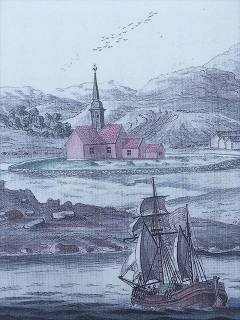
Anløp av seilskip
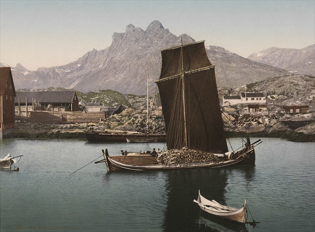 Åttring
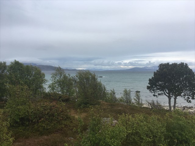
Utsikt fra Flagghaugen
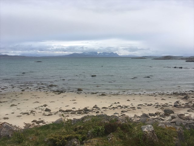
Utsikt fra stranden