The parking waypoint is at the Museum of the Friends of the Hill Society. It's a good starting place for the Denniston Town Walk.
A round trip of 40min approx rated easy. The cache is along this walk.
The walk is not sign posted but shows clearly on the map.
On your way to the cache a water filled channel is visible from time to time.
Combined with embankments it formed an almost straight line from as far as Coalbrookdale.
It now shows from badly overgrown on the embankments to full of water in the shallow cuttings.
The flooding is caused by replacing two road bridges with embankments which prevent drainage.
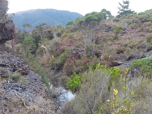
Denniston Rope Road
This is where the Main Rope Road run. The rope road was the means by which coal was transported from the various mines on the plateau to the bins at the Brakehead. It was a double 2ft. gauge tramway along which tubs of coal were hauled by an endless wire rope. Full tubs were hauled to the bins on one tram line, and empties were returned along the other. The rope road was replaced with an aerial ropeway in 1952.