During the little Ice Age, a cold period which lasted from the 14” until the turn of the 20” century, climate deteriorated and glaciers started to grow. Heinabergsjökull glacier advanced into the lowlands and dammed two side valleys, first the remote Vatnsdalur and in the middle of the 18” century also Heinabergsdalur, created ice-dammed Lakes. Old shorelines are clearly visible on the valley sides, showing the changing sides of these lakes.
Heinabergsjökull und glacier outburst floods from Vatnsdalur
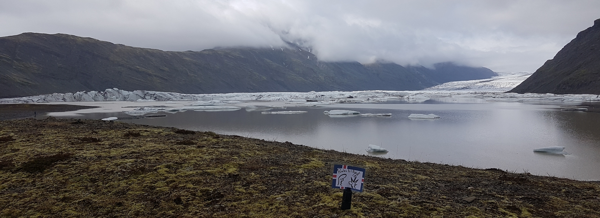
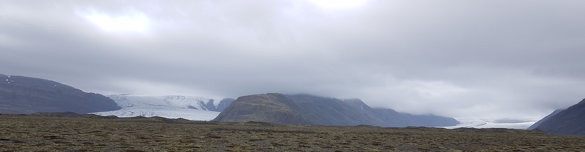
Heinabergsjökull reached its maximum extent in 1887 and is font merged with the neighboring glaciers Skalafellsjökull and Flaajökull, The spot where you are standing now was then covered by 200 m thick ice. While the glacier that dammed Vatnsdalur valley was thick, the lake filled up completely and water flowed down into Heinabergsdalur over a col between the two valleys. Eroding a ravine at the upper end of Heinabergsdalur.
Heinabergsjökull began to retreat and thin towards the end of the 19” century. The lake stopped overflowing into Heinabergsdalur and from then on, it drained annually in sudden glacier outburst floods (jökullhlaup). The water forced its way under the ice through sub glacial tunnels and emerged from the snout of the glacier in huge floods, the infamous “Vatnsdalur Floods”. Floods and sandstorms destroyed farmlands and some farms had to be abandoned. Lake Dalvatn at the mouth of Heinabergsdalur also flooded annually, but it disappeared in 1920 when Heinabergsjökull had retreated so much that the ice dam failed.
Extinct Volcano and Hot Springs
An extinct central volcano of late tertiary age partly hidden beneath the upper reaches of the Skalafellsjökull, Heinabergsjökull and Flaajökull outlet glaciers. The interior of this volcano is exposed in deep, glacially eroded valleys like Heinabergsdalur, where thick rhyolite layers and numerous dikes reveal its presence.
At the far end of Vatnsdalur there are carbonated hot springs (50°C), surrounded by mineral deposit and abundant algae growth and fed by groundwater which has been heated by contact with cooling magma. Near the springs, plant species can be found which usually don`t thrive at such hig altitudes: angelica Angelica archangelic, arctic riverbeauty Chamerion latifolium, harebell Campanulla rotundifolia and arctic poppy Papaver radicatum
source disclosures:Vatnajökulsþjóðgarður Info Board / photos made by myself
Please solve the following tasks
The sleeping volcano under the Heinabergsjökull has shaped the rock layer in the Heinabergsdalur. On the basis of these rock layers you can identify the volcano.
On the way to the coordinates you can see the rock layers that characterize the landscape in Heinabergsdalur. At the coordinates you will find an info board.
1. Which rock layer shapes the landscape?
2. at the coordinates and in the surroundings you will find these stones everywhere, they belong to the same layer but they are different. take two or more different stones and describe their color, structure and differences.
Please send us your answers via the message function, You can log immediately if something is wrong we will contact you
We hope you enjoyed the trip to Heinabergsjökull.
About photos and if you tell us where you come from we would be happy