We have placed this Earth Cache at Dog Lake as a memory of the time we spent here when travelling the east of Canada. We hope that all visitors will enjoy the beautiful surroundings as much as we did.
Ancient origins
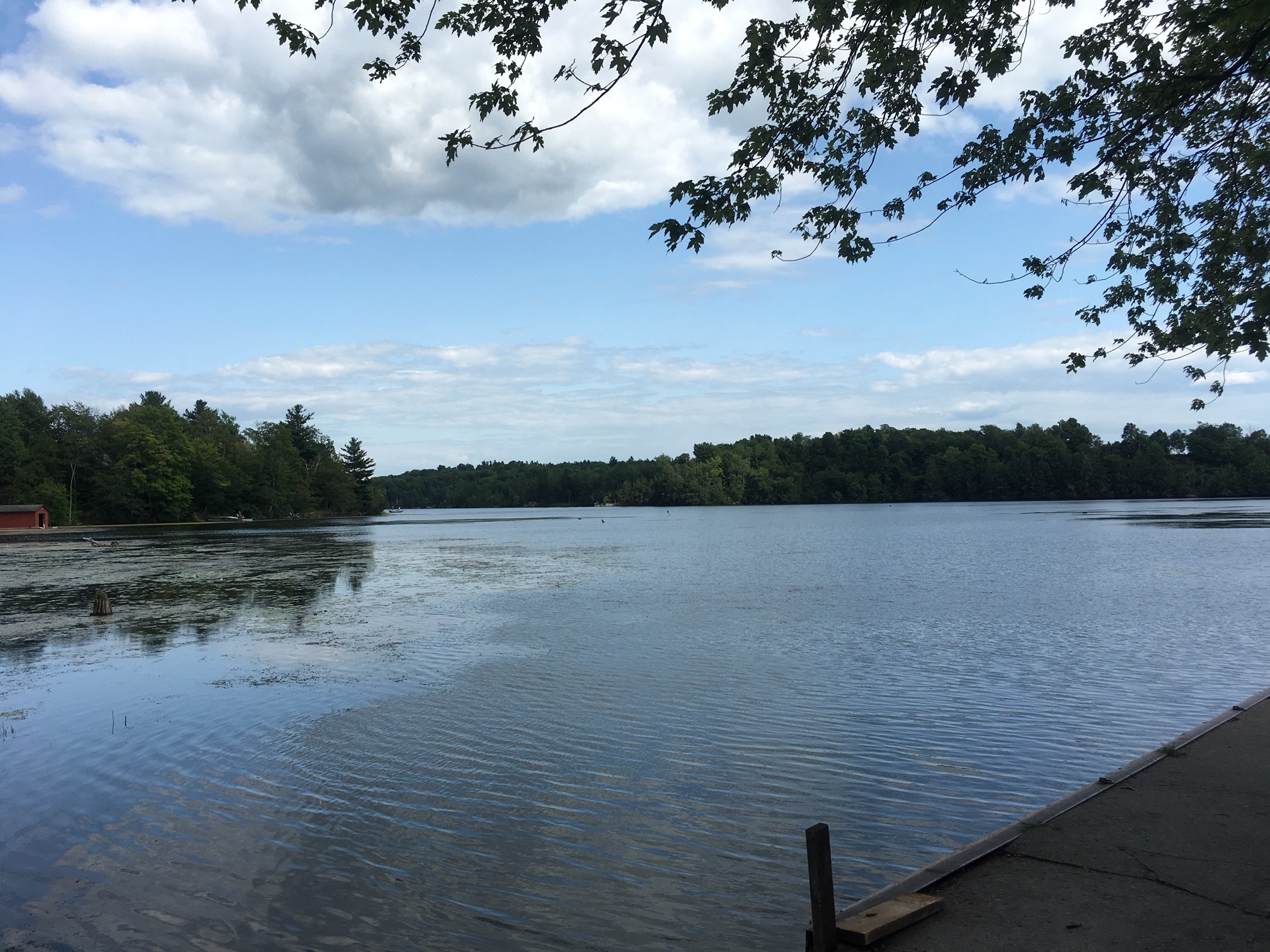
The surroundings of Dog Lake are part of the Frontenac Arch, a granite formation that stretches from the Canadian Shield to the Adirondack Mountains. It is one of sixteen biosphere reserves in Canada. The Frontenac Arch is refered to as the ancient backbone of Northern America, or “The Bones of the Mother” in Mohawk tradition. It was formed by the glaciers of the last ice age, ending some 10,000 years ago. Dog Lake owes its origins to the glacial ice covering northern Canada. The bedrock consists of sandstone and marble.
Today’s shape
The origins of the lake are ancient and it was mankind that gave the lake its current shape. It is part of the famous Rideau Canal system built from 1827 to 1832. Rideau Canal is the oldest canal system in North America that has been continuously operated. It was built using slack water methods, flooding obstacles such as rapids and falls. As a result, Dog Lake was greatly altered in size and shape. Nevertheless, the depthd of the lake remain of ancient origin. The deepest sections that were formed by the ice can be found in the northeast of the lake.
Please go to the coordinates and answer the following questions. Use the information panel, the map next to it and your own imagination.
Please send the answers via the message centre. You are welcome to log the cache straight away.
- What is the average depth of Dog Lake today (in feet) as stated on the information panel?
- What is the deepest depth marked on the map and what is the name of the island close to the depth?
- Describe in your own words how you think that the depths were formed by the glacial ice.
- Take a picture of yourself, your GPS or any other personal item that shows Dog Lake in the background. This can be either at the coordinates or at any other part of Dog Lake. Please post the picture with your log.
Thank you for visiting our Earth Cache.
Each log will bring back memories of the wonderful time we spent here.