
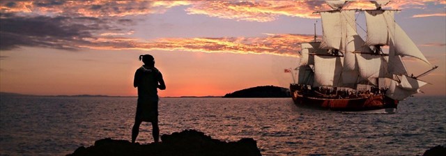
The Tuia Mātauranga GeoTour is about having fun discovering the history of Aotearoa New Zealand by finding sites of significance in local communities from early Pacific voyaging and migration, European settlement to present day. The interaction between people, and people and the land have provided a rich history that the GeoTour invites you to explore.
---
PLEASE NOTE: The cache has been re-worked on 11 January 2021 to incorporate the new signboards erected around the Pa site
Tauwhare Pā
This cache is part of the Tuia Mātauranga GeoTour (TMGT).
Tauwhare Pā was built several hundred years ago and overlooks the western arm of Ōhiwa Harbour. This strategic location lies between two tribal territories – Ngāti Awa in the west and Whakatōhea in the east. Both iwi needed access to the harbour, and considerable mana was attached to the control of its resources. Not surprisingly, during its 200 or so years of occupation Tauwhare was fought over a number of times.
The walk around Tauwhare is an opportunity to learn something of the district’s history and enjoy brilliant views over the harbour to Ohakana Island, Port Ōhope and the East Cape. Access to the walkway is approximately 300 metres on the left, past the start of Wainui Road, Ōhope
To find this cache:
At the listed Co-ordinates you will find 2 new information boards. You will need to read the boards and answer the questions.
On the Red part of the left board, How many coloured Waka (Boats with sail) are there? ADD one to this and this is A
Count the number of letters in the name of the Orange Waka (2nd one down if your color blind!) This is B
At WP1 (S 37° 58.746 E 177° 04.276) you will find another information board (Te Kete Kai a Tairongo)
Number of letters in the name of the fish mentioned between Sole and Red Cod This is C
Number of Vowels in the name mentioned after the word Neighbouring. This is D
At WP2 (S 37° 58.848 E 177° 04.202) you will find another information board.
Count the number of letters in the word meaning Summit Platform. This is E
Count the number of Letter P in the title. This is F
At WP3 (S 37° 58.881 E 177° 04.200) you will find another information board.
How many Babies are shown in the picture? This is G
How many Woman are shown in the picture? This is H
The Final Cache location can be found at:
S 37° 5A.BCD E 177° 0E.FGH
To be able to complete this Geotour and receive your special geocoin, remember to take a note of the codeword on the log book of the cache. This will need to be recorded in your passport which can be downloaded from here. If the passport is unavailable for any reason just keep a note of the codeword and try again later.