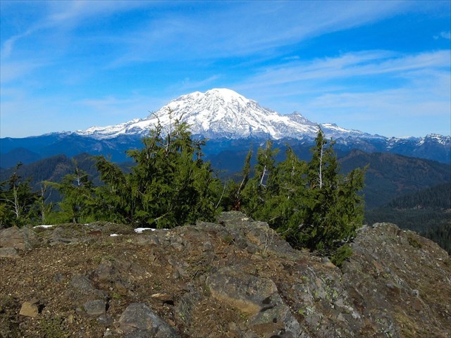
 Mt. Rainieer
Once again Willhiteweb is one of the best references for this old lookout site. The summit offers great views in all directions and is well worth the effort required to get there. On the summit I saw the typical glass, nails, anchors, foundation blocks plus an old bedframe. I did not look for the Purcell Benchmark.
There are several approach options: 1.) Leave Highway 12 and follow Trail 264 all the way up. 2.) Join Trail 264 from the abandoned FR 6310. This approach involves a stream crossing that can be challenging. 3.) Follow NF 102 to the south then navigate up a rocky gulley to meet Trail 284. This is the shortest option (about 4 miles RT) but requires solid off trail navigation skills. With options 2.) and 3.) be sure and check out Davis Falls.
The cache is an ammo can located about 60 feet downslope from the summit. Take care and tuck it back into its hide so it doesn't slide downhill.