HR - Osječka, takozvana, S-cesta produžetak je starog nadvožnjaka južne obilaznice u nastavku Svilajske ulice, a zvršava na kružnom toku bivše Čepinske ceste, danas Ulice Svetog Leopolda Bogdana Mandića.
ENG - The Osijek, so-called, S-road is an extension of the old southern bypass over the Svilajska Street, that ends at the roundabout of the former Čepinska Road, today St. Bogdan Mandić Street.
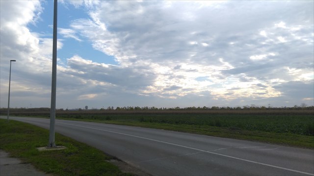
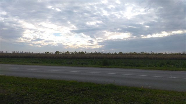
HR - S-cesta je tako nazvana zbog samog njezinog tijeka i oblika koje podsjeća na slovo „S“. Cijelom dužinom ove ceste nalazi se uređena pješačka staza te rasvjeta.
ENG - The name of the road is due to its flow and the shape that resembles the letter "S". All along this road there is a well-maintained walking path and lighting.
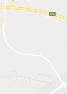
HR - Izgradnjom ove ceste povezao se zapadni dio grada Osijeka brzim prometnicama od Petefijeve i Strossmayerove ulice s Ulicom Sv,L.B. Mandića čime se postiglo znatno prometno rasterećenje gradskih ulica.
ENG - The construction of this road connected the western part of the city of Osijek with expressways from Petefi and Strossmayer streets to Sv., L.B. Mandic, which resulted in significant traffic unloading of city streets.
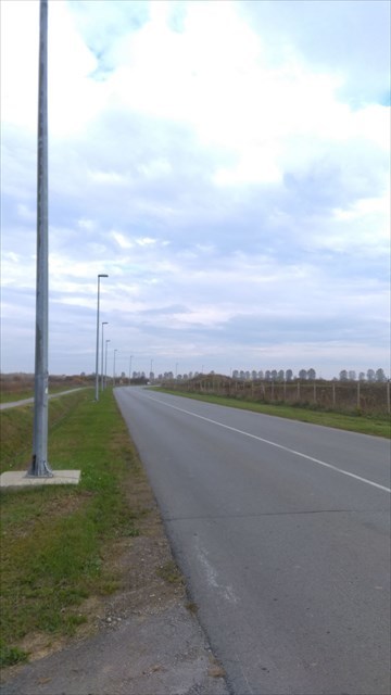
HR - S-cesta dugačka je 1,9 km, a njezina izgradnja trajala je od srpnja do prosinca 2011. godine, kada je svečano otvorena i puštena u promet.
ENG - The S-road is 1.9 km long and its construction lasted from July to December 2011, when it was officially opened and put into service.
HR - Unutar logbooka nalazi se bonus broj za rješavanje i pronalazak GC8EXJZ.
ENG - Inside the logbook is a bonus number for solving and finding GC8EXJZ.

Izvori / Sources - https://www.google.com/maps/place/46%C2%B005'17.8%22N+15%C2%B050'03.4%22E/@45.5468817,18.628801,14.25z/data=!4m5!3m4!1s0x0:0x0!8m2!3d46.0882667!4d15.8342667
