TRADITIONAL GEOCACHE RECOGNISING A LAND FORMATION THAT PREDATES THE DINOSAURS.
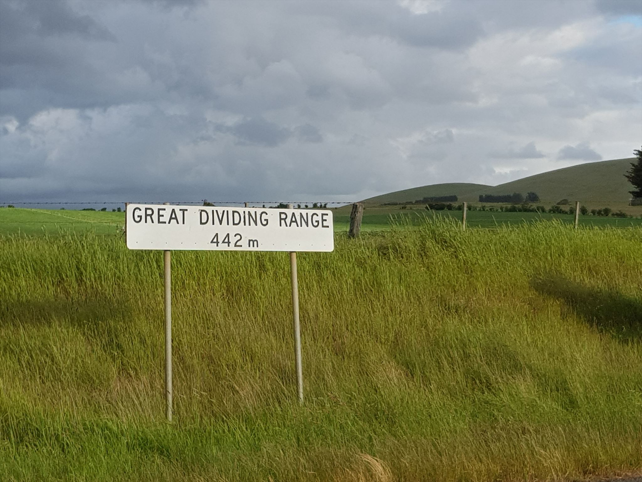
The Great Dividing Range is Australia's most substantial mountain range and the fifth longest land-based range in the world. It stretches more than 3,500 kilometres (2,175 mi) from Dauan Island off the northeastern tip of Queensland, running the entire length of the eastern coastline through New South Wales, then into Victoria and turning west, before finally fading into the central plain at the Grampians in western Victoria.
The Great Dividing Range does not consist of a single mountain range. It consists of a complex of mountain ranges, plateaus, upland areas and escarpments with an ancient and complex geological history. In some places the terrain is relatively flat, consisting of very low hills. Typically the highlands range from 300 to 1,600 metres (980 to 5,250 ft) in height. The width of the range varies from about 160 km (100 mi) to over 300 km (190 mi).
The mountains and plateaus, which consist of limestones, sandstone, quartzite, schists and dolomite, have been created by faulting and folding processes. The highest peak is Mount Kosciuszko, which is 7,310ft (2,228m) high and was first discovered by Polish-born explorer Paul Strzelecki in 1829.
The Great Dividing Range was formed during the Carboniferous period—some 300 million years ago—when Australia collided with what is now parts of South America and New Zealand. The range has experienced significant erosion since.
Source: Geology Of Australia