This multi will take you on a short walk around Dundonald. You will find information at each stage, which will be required to calculate the final coordinates. On-street parking is available, but this can be difficult. Dundonald can be reached by bus from various starting locations.
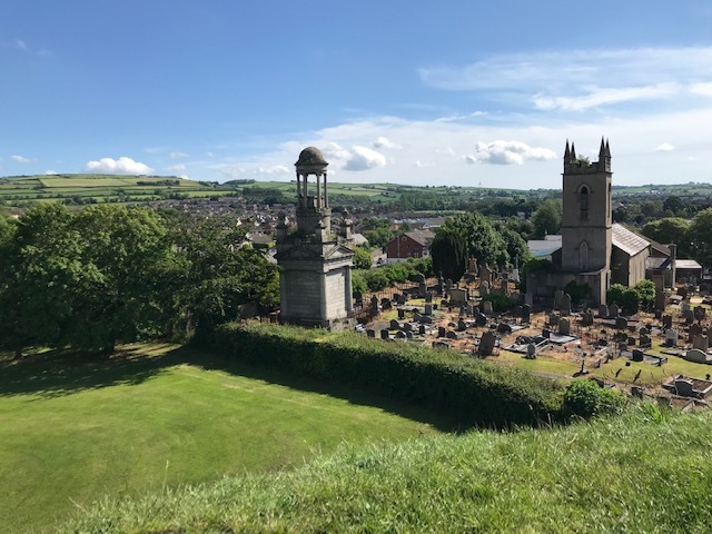
A view of Dundonald.
The Final coordinates are: N54 35.ABC W005 48.DEF
Stage 1. N54 35.675 W005 48.712
This will bring you to a corner of the Moat Park where you will see a series of artwork commissioned by Castlereagh City Council. The panels depict the legacy left by the Normans in Ireland and three people unveiled the exhibit.
A = the number of letters in the Mayor’s surname.
Stage 2. N54 35.665 W005 48.656
A large rock marks the centre of a small Memorial Garden. While facing north, towards the Ulster Hospital, look to your left. There is an inscription that begins “LIFE IS MEASURED IN ….…… “
B = the number of YEARS mentioned in the inscription.
Stage 3. N54 35.521 W005 48.371
Edward Bruce was the younger brother of Robert the Bruce. Just over the bridge, towards the Comber Road, on the right you will see information about Edward’s time in Ireland. There is a date on either side of a crown at the top of the information board.
C = the first digit in the earliest date.
Stage 4. N54 35.626 W005 48.387
There is public access to this iconic site via St. Elizabeth’s Church. On the structure you will see an inscription of two words and a date.
D = the fourth digit of the date.
E = the number of letters in the first word minus 2.
Stage 5.N54 35.608 W005 48.276
Look north from this stage and you will see a date on the wall of the church, not in Roman numerals.
F= the second digit minus the first digit.
Please bring your own pen and note that tweezers may be required.
Check Sum: A + B + C + D + E + F = 22