At the posted coordinates, you will see a sign that identifies this area as a continental divide. A continental divide is a ridge or natural boundary of elevated terrain that separates the drainage basins of a continent. Each drainage basin contributes its water to river systems, which in turn flow into distinct larger bodies of water, such as oceans and larger rivers.

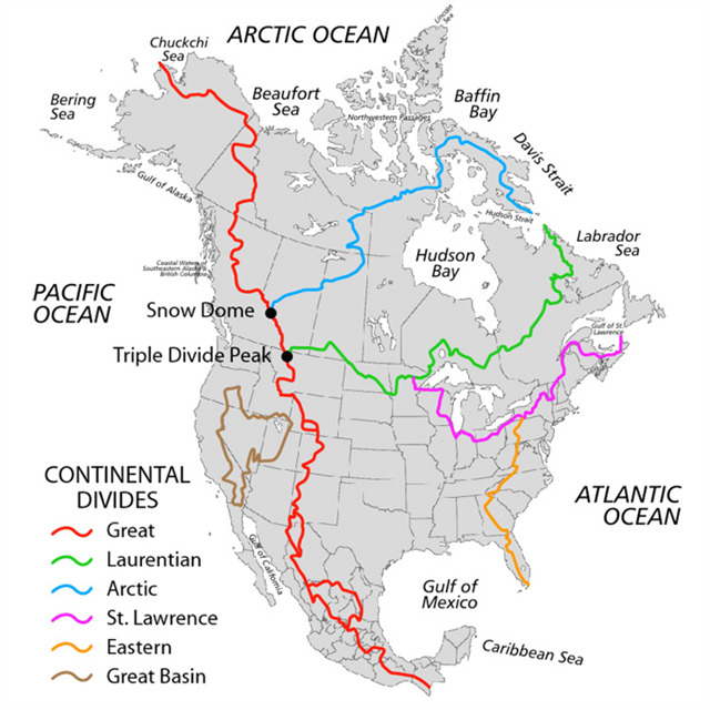
The Continental Divide here at Eagle Marsh is part of the St. Lawrence divide that separates the Mississippi River Watershed and the Great Lakes Watershed. This means that water that falls to the West of this divide heads to the Mississippi River through various streams and rivers, and water that falls to the East of this divide heads to the Great Lakes/Atlantic Ocean.

Why is there a divide here and why the Eagle Marsh?
In 2015, the federal government widened the berm on the east side of the Graham-McCulloch Ditch, which flows through the Eagle Marsh to the Little River and the Wabash River, to stop Asian carp and other aquatic nuisance species from transferring either direction between the Mississippi River and the Great Lakeswatersheds during a major flood event. In doing so, they also strengthened a continental divide.
Silver and Big Head Asian Carp were brought to the US in the 1970's as part of the aquaculture industry. Because of severe flooding in the early 1990's, the fish escaped into the Mississippi River. This is a problem because the fish can grow up to 4 feet long, weigh up to 100lbs, and voraciously eat plankton. This can disrupt the natural food chain and outcompete native species. In some rivers, Asian carp can make up as much as 90% of all fish species present.
Asian Carp are just the "poster child" for aquatic nuisance species, as there are another 40 species in the Mississippi river that we do not want in the Great Lakes, as well as 160 species in the Great Lakes that we do not want in the Wabash and Mississippi Rivers. This berm was made to prevent ALL of those invasions from happening.
Why Eagle Marsh?
This berm runs through the Little River valley which was carved out by the retreat of glaciers. Over time, this valley became a 25,000-acre wetland that settlers called the Great Marsh, and a major tributary to the Wabash River.
The wetland was ditched and drained in the late 1800s and has been primarily used as farmland since then. In order to drain the marsh, county officials diverted some of the water away from the Wabash and Mississippi Rivers and into the St. Mary's River, which leads to Lake Erie.
By diverting the flow of water in to the St. Marys River, the continental divide was artificially moved to present-day Eagle Marsh. Because the new divide is in a valley, both watersheds could commingle during flooding if the divide was not here.
The U.S. Army Corps of Engineers determined that there was a high risk of Asian Carp species crossing between the two watersheds at Eagle Marsh. If Asian Carp reach Lake Erie via the st. Mary's River, they could destroy the lakes $7 billion/year fishing industry.
In order to log this cache as a find, you must send me answers to the following questions....
1) Standing in the parking lot to the left of the continential divide, what is your elevation? What is your elevation standing on the continential divide?
2) Which way is the Graham McCulloch Ditch flowing at Waypoint 2? North (which would mean flowing toward the Great Lakes Watershed) or South (which would be toward the Mississippi River Watershed)?
3) What watershed do you live in? (If you are not from the area, you may pick a local location or you might know what watershed you live in)
4) Looking at GZ, do you think they have built this berm high enough to stop nuisance species from invading the opposite watershed/rivers/lakes in extreme flooding?
5) Standing on the divide, to give you a visual of how the divide works, pour a cup of water across the divide. What do you notice about the flow (direction) of the water?
6) OPTIONAL You may post a picture of yourself or you GPS (personal item) on the continental divide.