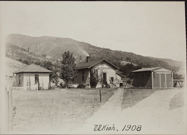
United States Coast and Geodetic Survey joined the International Polar Motion Service program in 1897 to study the precession, or “wobble” of the Earth’s axis, and its effect on measures of latitude. Six separate observatories were created along the parallel 39° 08′ north latitude. The Ukiah Observatory is one of five remaining observatories. The other stations are located in Mizuasawa Japan, Kitab Uzbekistan, Carloforte Italy, and Gaithersburg Maryland.
Economic difficulties and war caused the closings of some of the original stations, though a newer station was created in Uzbekistan after World War I. The various stations continued to function until advances in computer technology and satellite observations rendered them obsolete in 1982. The data collected by the observatories over the years still has use to scientists, and has been applied to studies of polar motion, the physical properties of the Earth, climatology and satellite tracking and navigation.
The city of Ukiah acquired the property in 1991 but the observatory and adjoining land was closed to the public until March 2014. A grant from the California Land and Water Conservation Fund, along with matching funds from the City of Ukiah, made the improvements necessary to reopen the park.
A large heritage Valley Oak anchors the north end of the park. Spreading before it is a large grassy field providing an unobstructed view of the iconic tree. This Valley Oak and a Sequoia between the observatory and adjacent outbuilding are 2 of ~12 landmark trees dotting Ukiah.
Almost directly in the middle of the grassy field you can find 2 geodetic survey markers spaced approximately 20 feet apart.