****NOT AT THE POSTED COORDINATES****
This is a bonus cache for those completing the Early Clay County - Adventure Lab. As you complete stages of the Adventure Lab you will be given information that will help you determine the location of this cache.
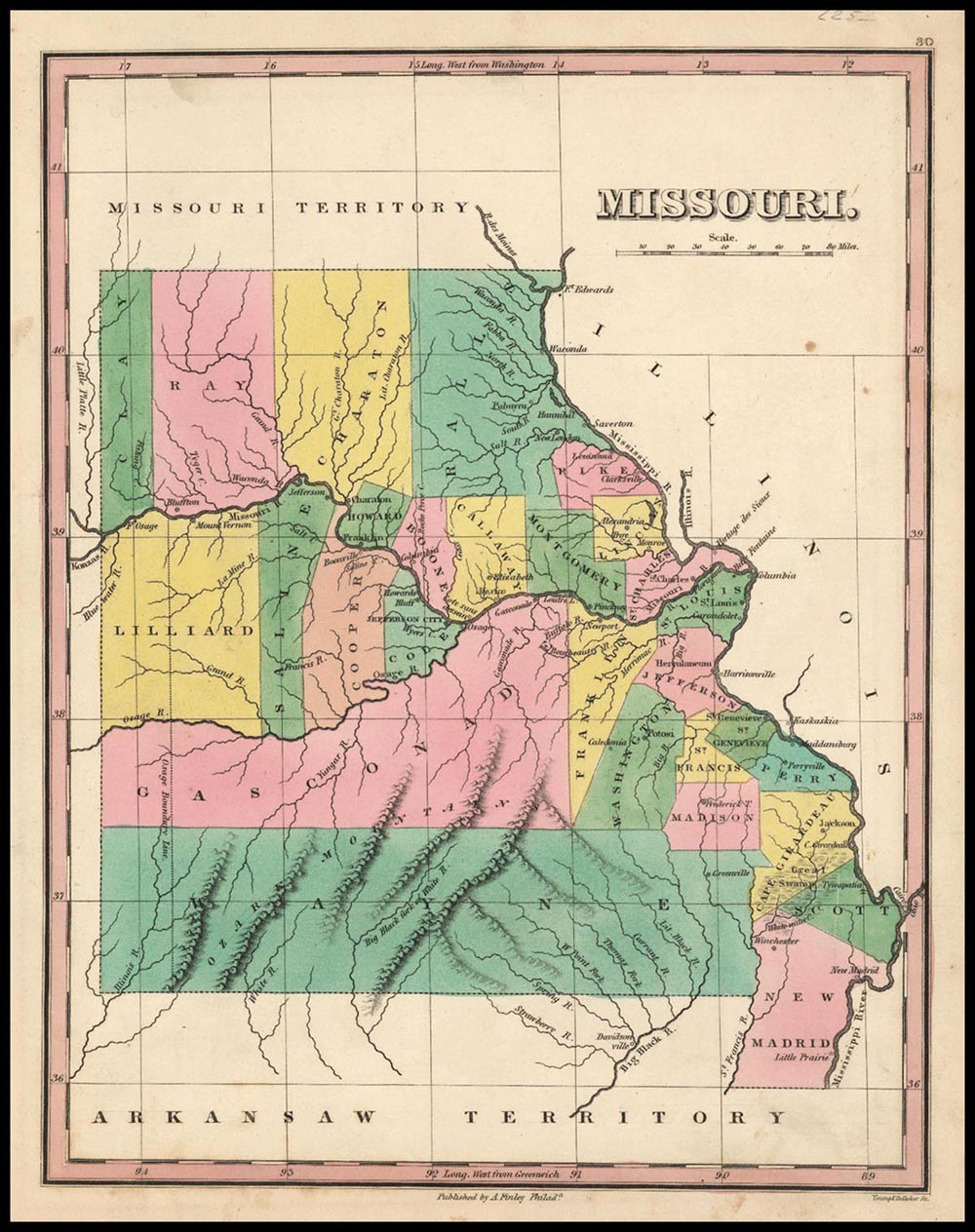
Early Clay County
Missouri was part of the December 1803 Louisiana purchase and was admitted as a state on August 10, 1821. The western edge of Missouri was a straight line where the Kaw and Missouri rivers intersected. Clay County was formed from Ray county on January 2, 1822, extending from the Missouri River north to the Iowa line. It was twenty-one miles wide by one hundred miles long. At the time, the population of the county was about 1,200. Clay County was named in honor of U.S. Representative Henry Clay of Kentucky. The price for an acre of land was $1.25. It wasn’t until 1833 that the county was reduced to its present size.
Another speedy FTF grab by DrPowercat and OrigamiFolder less than an hour after publishing.