This is a two stage multi cache based around what is thought to be the site of an Iron Age fort. The posted coordinates take you to the first waypoint, an information board about the site.
Tasburgh earthworks: where the village began
In 20A7 the local community investigated and celebrated the heritage site.
On the bottom right of the notice board there is a coin. It is believed to have dated from 1066 - 15B9 medieval times.
In C200 the village developed away from the church.
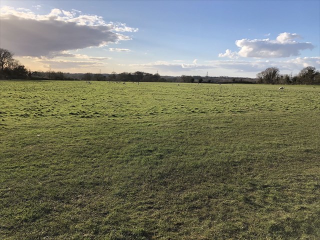
Now, walk across the field to waypoint 2. Look out for the raised earth bank on your left as you walk across the field. It’s the only visible remains of the old fortification here.
Horseshoe Way Footpath Tasburgh
In D013, Tasburgh Parish Council purchased the land.
E= How many pints was the land purchased for plus 1.
F= Excluding his title, how many letters are in the name of the man who sold the land to the Parish council?
The final geocache is at:
N52 31.ABC
E001 14.DEF