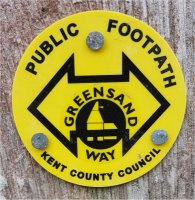
The Greensand Way is a long-distance path of 108 miles (174 km) going from Ham Street in Kent to Haslemere in Surrey. The trail was opened on 15 June 1980 and is jointly managed by Surrey and Kent Councils.
It follows the Greensand Ridge along the Surrey Hills and Chart Hills. This section which travels to the west is mostly rural, passing through woods with many great views. Further to the east there are fruit orchards and hop farms.
Please see GSW W1 for more information on the series and loops.
Continue along the path through the small wood and start to cross a large field. At the given coordinates you will find ABCDEF.
The cache is to be found at N51 (D-F) B.D(A+B)A E000 (D+F).AE(C-E)