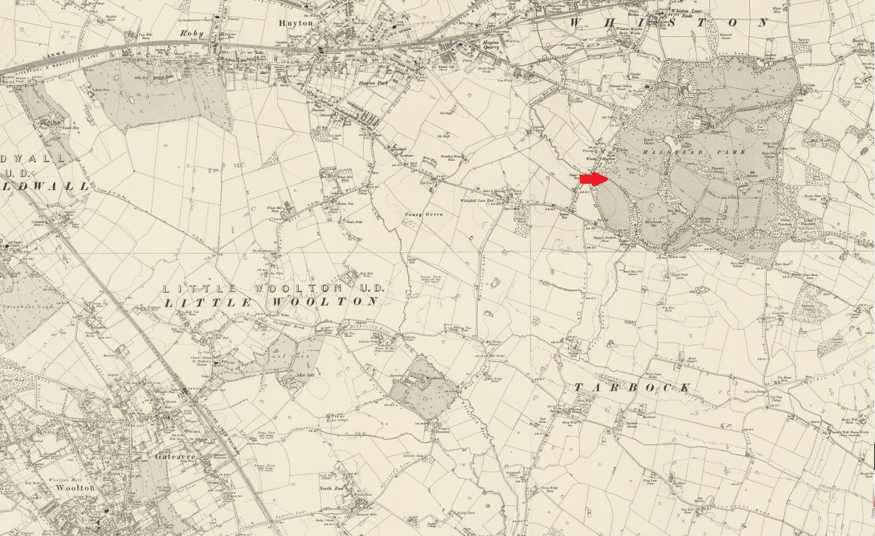
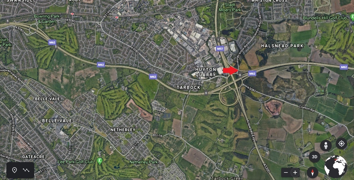
31. Windy Arbor Road
Well this is the last cache of the day.
Well done, & I hope you enjoyed the walk.
The bridge your standing on crosses Chapel Brook and The Freeflow extension from the M57 to M62. I've managed to find an old Victorian map of this area & thought it'd be interesting to compare.
PARKING
N 53° 23.975 W 002° 48.928 – Chapel Brook Car Park
N 53° 23.036 W 002° 48.835 – End of Ox Lane (Please be respectful of residents)
DO NOT PARK AT GREENSBRIDGE FARM – It is for residents only
N 53° 22.582 W 002° 47.842 – Netherley Road Lay-By
N 53° 23.683 W 002° 48.030 – Dacre’s Bridge Lane (Please be respectful of residents)