Shubenacadie Glacial Lake
Shubenacadie (pronounced "Shoo-ben-ack-a-dee") is a village located in Hants County, in central Nova Scotia, Canada. The name for the Mi'kmaq territory in which present-day Shubenacadie is located and the origin of its name is the Mi'kmaq word Sipekne'katik, which means "place abounding in groundnuts" or "place where the wapato grows." Historically, the Sipekne'katik region was a large stretch of territory that covered central Nova Scotia.
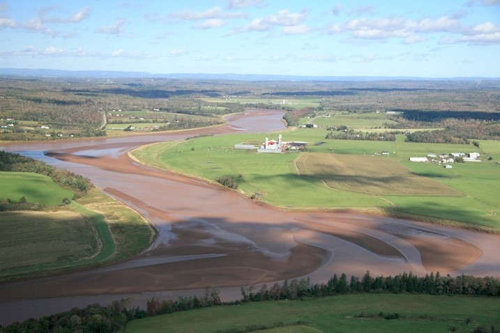
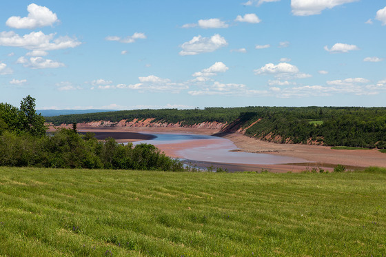
The Shubenacadie River takes its name from the same territory. It has a meandering length of approximately 72 km from its source at Shubenacadie Grand Lake to its mouth at the historic seaport village of Maitland on Cobequid Bay. The Shubenacadie is one of the top five whitewater rivers in Canada. The lower 30 km of the river (from the point where the Stewiacke River meets to the mouth) is tidal and the river experiences a tidal bore twice daily, with some bores reaching up to 3 m in height at certain points along the river.
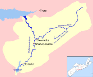
The light colour on the map would represent the glacial lake area. The deglaciation of Nova Scotia is reconstructed using the AMS-dated chronology of lake sediments and buried organic sections exposed in the basins of former glacial lakes. Ice cleared out of the Bay of Fundy around 13.5 ka (kilo annum or 10,000 years). Glacial Lake Shubenacadie formed in central Nova Scotia, impounded by a lobe of ice covering the northern Bay of Fundy outlet. Drainage was re-routed to the Atlantic Ocean until the Fundy outlet became ice free after 12 ka.
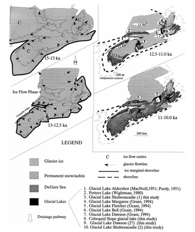
Glaciolacustrine sediments were deposited in a large glacial lake henceforth termed "Glacial Lake Shubenacadie 1" that would have encompassed much of the Shubenacadie Valley below 30 m elevation and formed sometime between 12.5 and 11.7 ka. This lake lasted for a few hundred years with a southern outlet to the Atlantic through the Lake William-Lake Charles-MicMac Lake system, present site of the Shubenacadie Canal.
Truro, at the head of the Minas Basin became ice free as early as 12.0 ka, but ice must still have blocked the lower Shubenacadie River valley sometime before 11.7 ka as basal peat dates. Once the ice corridor blocking the Shubenacadie outlet was breached, flow through the outlet would have rapidly drained the lake after 11.7 ka. Nova Scotia was virtually ice free by 11,000 (11 ka) years ago but small remnant ice masses may have persisted in the Cobequid and the Cape Breton Highlands.
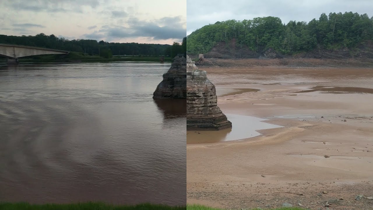
To log this Earthcache visit the viewing location. Please answer the following questions and send in a timely manner to my geocaching profile or email. Answers not received will result in deleted logs.
Questions:
1. Is the river tidal at this point?
2. What is the elevation at ground zero?
To get an idea of how large the ancient lake was, answer the following.
3. When the glacier unblocked the Bay of Fundy the area drained to the Bay of Fundy. How far are you from Maitland, on the Bay of Fundy?
4. When the glacier blocked the Bay of Fundy the area drained to the Atlantic. How far are you from Halifax, on the Atlantic?
5. Post a picture in your log with a personal item or hand in picture to prove you were there.
[REQUIRED] In accordance with the updated guidelines from Geocaching Headquarters published in June 2019, photos are now an acceptable logging requirement and WILL BE REQUIRED TO LOG THIS CACHE. Please provide a photo of yourself or a personal item in the picture to prove you visited the site.