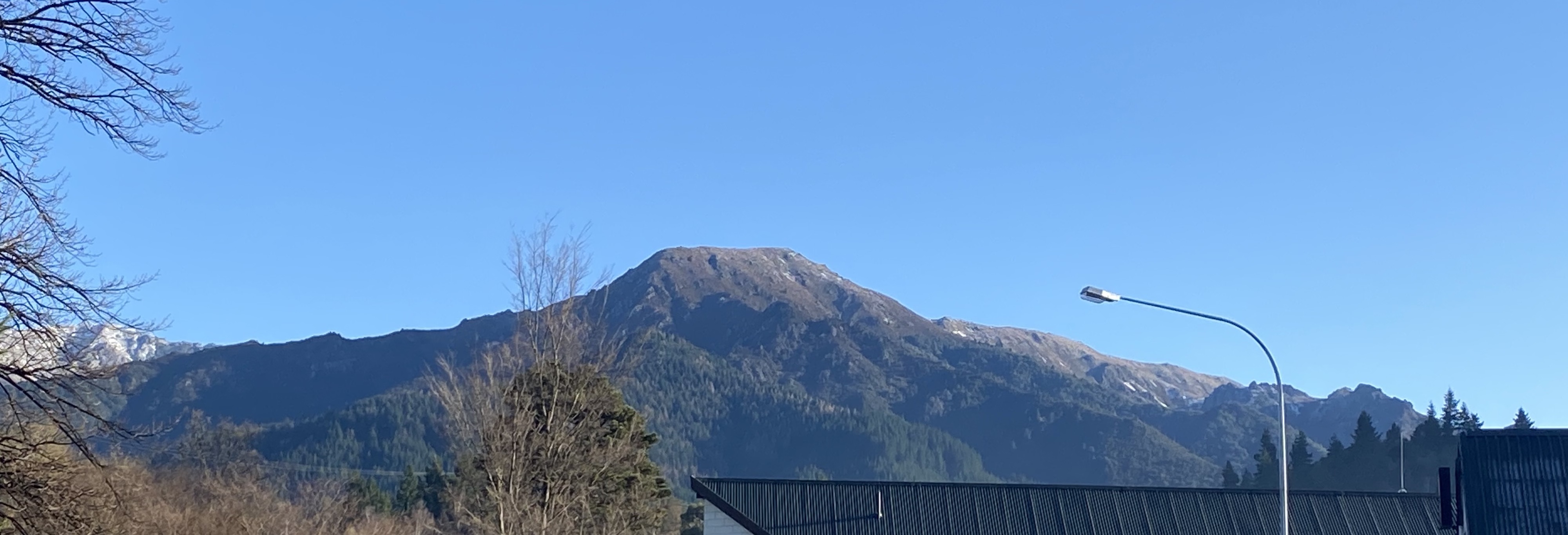
This peak is variously called Dumblane or more commonly Dunblane, and is seen prominently from Hanmer village - on the opposite side of Jacks Pass from the more well known Mt Isobel.
At 1303m it is reached from the carpark on Jacks Pass (on Clarence Valley Road) which is already at 870m so most of the work is done!
The track is well marked by traditional orange markers starting at the west end of the 4x4 track heading west from the carpark, and following the prominent rocky spur up to the main ridge, then undulating left (south) to the peak itself.
There is no formal DOC sign at the start nor is the track well publicised.
Return walk from Jacks Pass is around 4 hrs or extend 2 hrs by starting with Chatterton Track (from the end of Jacks Pass Road!) in Hanmer.
Take usual precautions for alpine tramping, regarding clothing and weather conditions.
There is no water source on this route.