Over many years the stopbanks have been developed and maintained to protect Christchurch and surrounding areas. These banks are part of our first line in defence from rising waters from the Waimakariri. The cache is a silver bison. Remember to check the gate closing times at the main road.
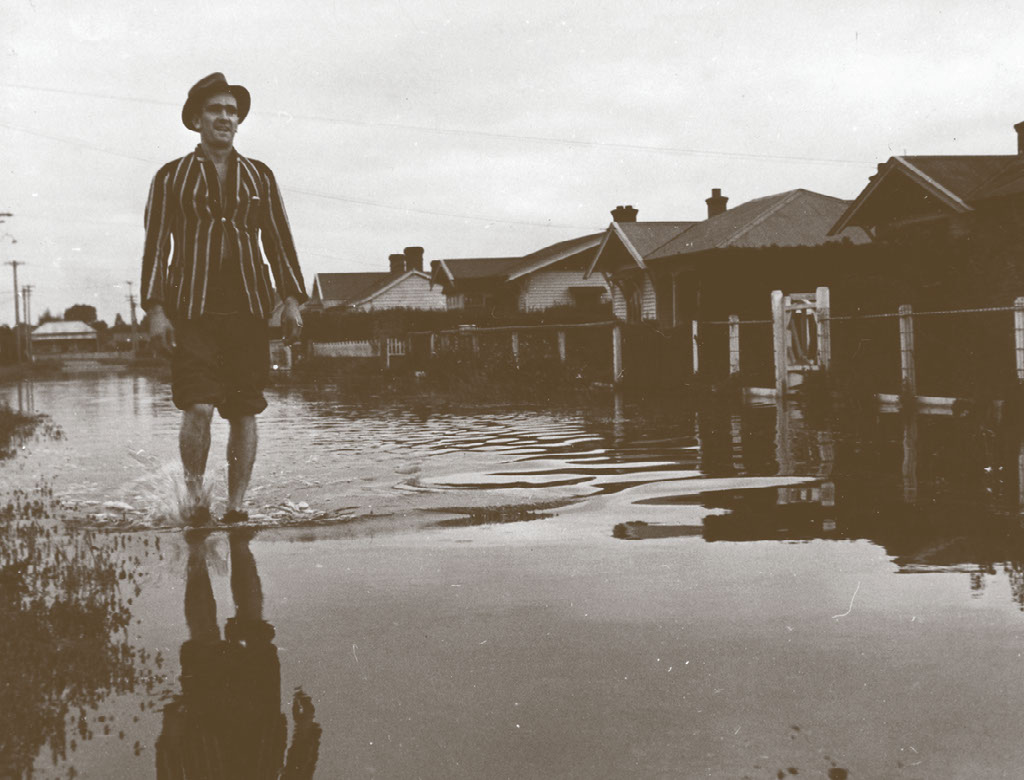
A man gets his feet wet during the flooding in Kaiapoi in February 1945.
Major flood events have struck Canterbury multiple times during the past 150 years.
Flooding 1957
High river levels breached the Waimakariri River stopbanks and submerged various parts of the region. The most recent major flood was in 1957 at Coutts Island, near Belfast.

Construction team building stopbanks on the Waimakariri River in the 1930s.
Several authorities undertook flood protection works in the region leading up to 1990 when the regional council, Environment Canterbury, recognised that further work was needed to adequately protect the developing floodplain area.
A report in the 1980s from Tony Boyle, Environment Canterbury’s principal hazards analyst, pointed to the potential risks.
Following further investigations, Environment Canterbury principal river engineer Ian Heslop was summoned to the office of then-chief executive Bryan Jenkins in 2006.
Jenkins was also a professional engineer and had grasped the magnitude of the task at hand. Heslop was instructed to map out a plan to make the Waimakariri Flood Protection Project happen.
The Puzzle
The Waimakariri river is ranked AB th. In length
(A + B )/ 3 = C
A +A = D
C + D = E
S 43° 27.EDC E 172° 26.ABC