Earthcaches have no “box” to find. Rather, with this earthcache, you discover something about the dan at Crabtree Lake. For more information, see earthcache.org.
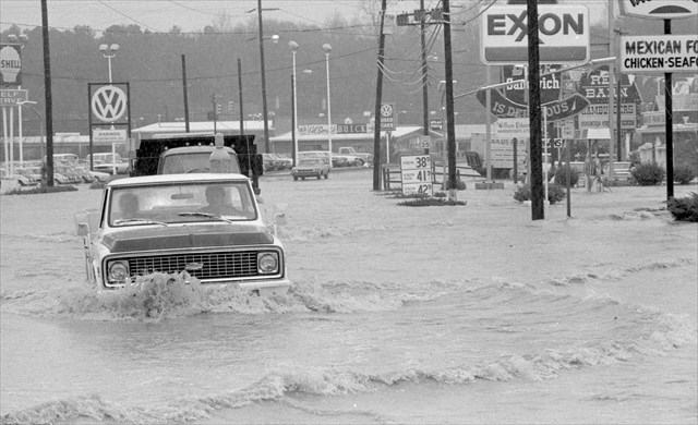
Crabtree Creek, Raleigh’s principal watercourse, has flooded repeatedly throughout its history. Efforts to control it were launched in the 1950s after major flooding occurred in 1957 when 6 inches of rain fell in 12 hours and caused damages of around $2 million dollars.
In 1957, the Raleigh City Council approved a flood control study for "wild Crabtree Creek." The council voted unanimously to ask the US Army Corps of Engineers to assist local engineers in determining what could be done to harness the creek. The flood control project has directly altered the appearance of numerous sections of Raleigh and Wake County through the construction of multiple dams and creation of large reservoirs—including Shelly Lake (1975), Lake Lynn (1976), and Lake Crabtree (1989).
The following picture shows when major flooding that occurred on February 1, 1973 that helped in the decision to control the creek with dams.
You stand now on one of those dams that created beautiful Crabtree Lake. Lake Crabtree was constructed in 1989 by damming the Crabtree Creek for flood control in the Crabtree Creek watershed by the Natural Resources Conservation Service (formerly the Soil Conservation Service).
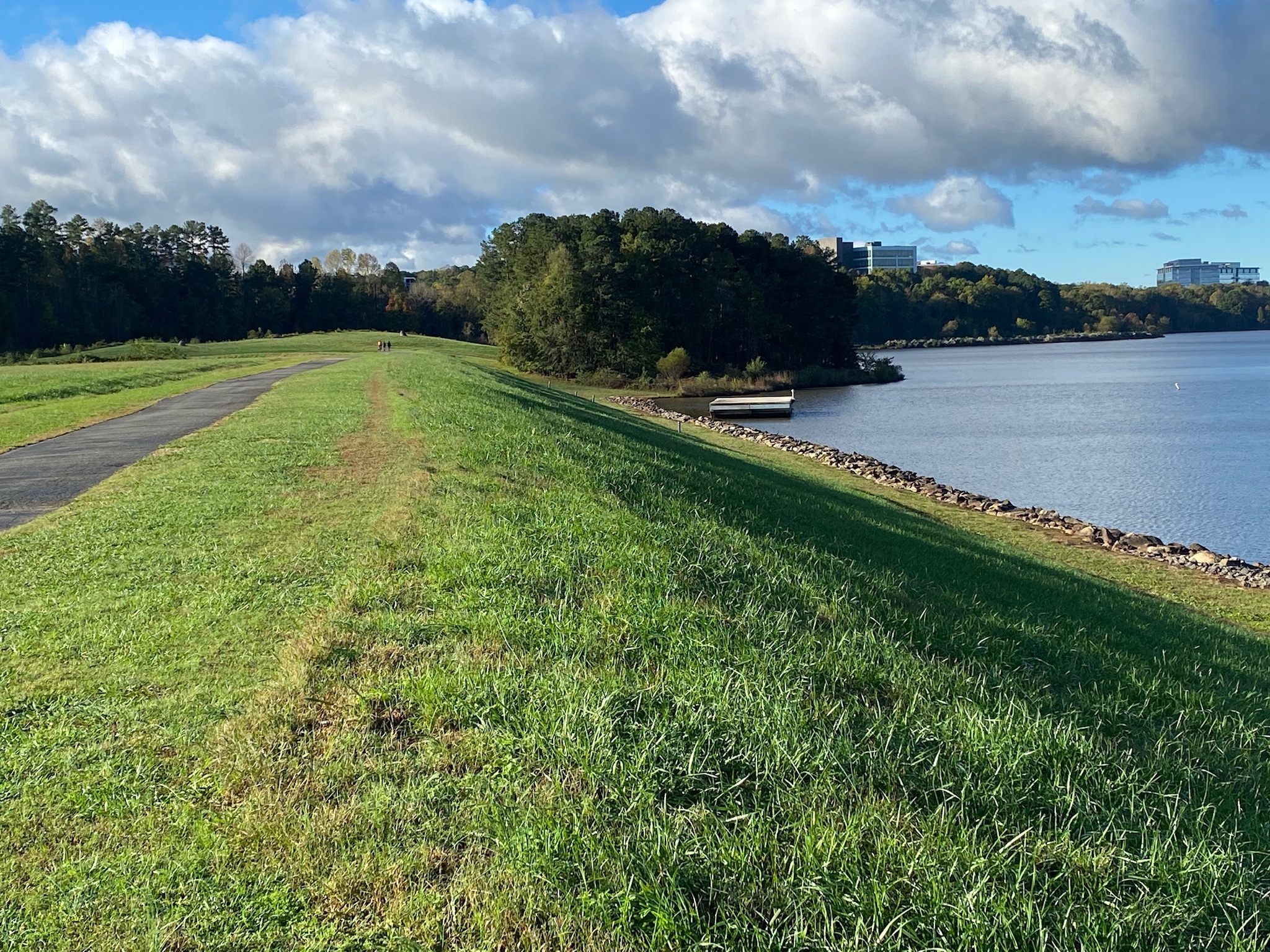
The Crabtree Lake dam is an earthen embankment dam. An embankment dam is any dam that is constructed of excavated natural materials or of industrial waste materials. It was made with more than 50% of the total volume formed of compacted earth material. Around the edges of the dam are rocks (hard meta-volcanic rock) from the nearby quarry.
These quarry rocks are from the Carolina terrane, which is made of heated and deformed volcanic and sedimentary rocks. The terrane contains rocks associated with a series of oceanic volcanic islands about 540-630 million years ago.
Long ago, volcanoes erupted in this area and the fallout ash fell into an ancient ocean, mixed with sediment in the ocean, and helped form the meta-volcanic rocks you see now. In geology, meta-volcanic rock is a type of metamorphic rock. These rocks were first produced by a volcano, either as lava or tephra. Then, the rock was buried underneath subsequent rock and was subjected to high pressures and temperatures, causing the rock to recrystallize. Over time, and the constant activity of the earths' crust, they were thrust upwards from horizontal to vertical, and the very type of rock changed, or metamorphized.
Gneiss, schist, lithium, clay, sand, gravel, and building stone can be found throughout here, and gold was once mined there in abundance. Some of these gneisses and schists are rich in feldspars and quartz, and these rocks also contain mica minerals and aluminous or ferromagnesian silicates.
Logging Tasks: (Required)
Please send your answers via geocaching message center (preferred) or email.
- Observe the rocks around the dam. Are the rocks uniform? Or do they contain other things like quartz and feldspars?
- Describe what you see -- its size and shape.
- For what purpose was the dam built?
- What is the drainage area of the dam?
- What is the height of the dam?
- Please post in your log a picture of you, your GPS, your group, an appendage, your geo-pet -- just something to show you were here.
References