IMPORTANT!!! For this series final cache, the container IS NOT at the posted/listed coordinates seen on the geo-map (otherwise, why would you need to be collecting stamp impressions from the other caches in this series?) Read on through this cache description to find out how you may chose the correct parking area and the proper letterbox instructions (or optional direct coordinates) to get to the actual hidden container.
In case you are curious, this cache's public coordinates, as they are listed on the geo-map, were chosen as a spot within SGL that is less than a mile of the average center point of all the other 2020 12 Buckets of Christmas, by mathematically averaging the coordinates for all of those buckets. So in a sense, you could "start" at these coordinates, not so much physically, but by hitting all the other 12 caches in the series first, as they are physically spread around north, west, south, and east of this icon on the map. Once you have all the different stamp designs collected, you will know where to actually park and how to get to the actual series final cache from that parking area. So keep on reading...
Eighteen days after the Last Day of Christmas, mrGreen317 hid for me, a series final bucket past some SGL evergreen trees!
Your journey to this series final bucket requires these steps:
STEP 1: Find and locate the other buckets in the series
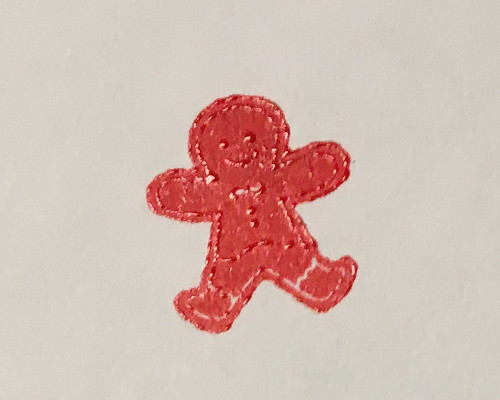
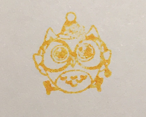
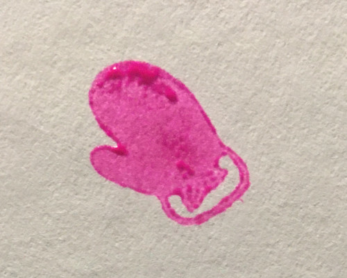
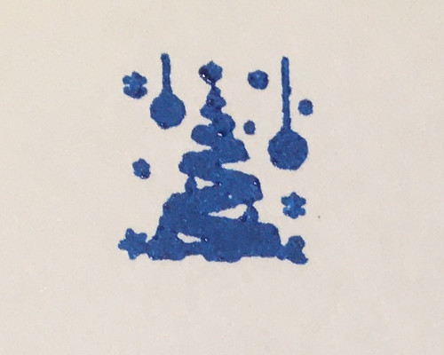
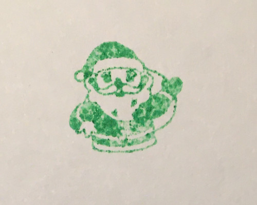
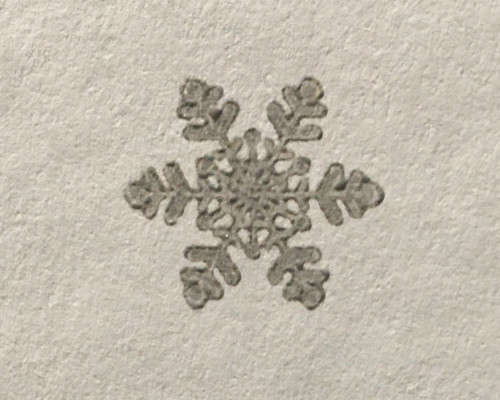
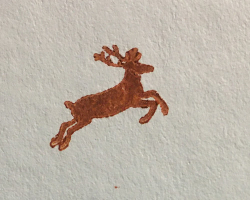
Each of the following member caches of the Twelve Buckets series will each have a different stamp design to note. You will likely need all (but certainly most) of the stamp impressions from other series caches to put the rest of the instructions in this journey into proper order.
STEP 2: Match the stamp impressions collected from each cache with the correct Day of Christmas
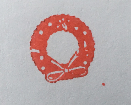
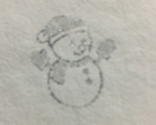
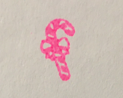
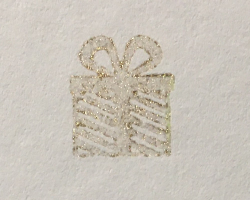
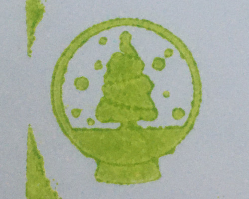
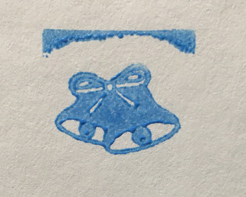
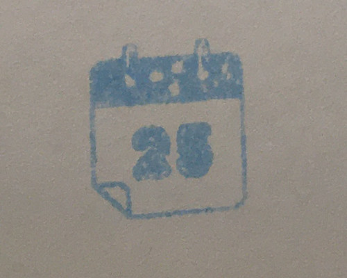
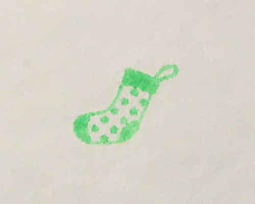
Knowing the proper stamps and how they relate to each Day of the series caches will help put the following letterbox instruction in proper order. Note that some of the stamp impressions listed here are decoys. There are only 12 correct stamp impressions.
| |
|
|
|
For Coords |
 |
|
Walk 380 feet along the road/path to where the slope almost levels for a bit; there are two tall stand-alone trees in a small open space to the right side of the road, and in front of you the road will curve up and to the right. |
|
31 |
 |
|
Continue along the SGL road/path for 560 feet until a "shortcut" clearing is seen leaving the road to the right side; continue along the main SGL road/path |
|
37 |
 |
|
Continue for 550 feet to where a clearing going back to the left is passed; the SGL road/path will be proceeding straight and then curving left; follow it. |
|
34 |
 |
|
Proceed 425 feet, going uphill, to where you will see two mounds, mostly of rocks and other plant growth; find a way between the mounds for the next instruction. |
|
41 |
 |
|
Walk 475 feet until you see a yellow diamond sign affixed to the back side of a cut-off tree trunk on the right side of the road/trail. |
|
36 |
 |
|
Follow the SGL road/path for 1400 feet to where a small cluster of evergreen trees is visible on the right side, along with a "shortcut" through a grassy clearing that leaves the road heading right, adjacent to the tree cluster; for letterbox instructions, continue left along the main SGL road/path as it curves left. |
|
27 |
 |
|
Proceed 275 feet to an evergreen tree with a cylinder container hanging off that tree (photo Z); proceed onward past this tree. |
|
30 |
 |
|
Continue along the SGL road/path for 625 feet to a snowmobile trail junction; you will see a sign on the right side indicating that the snowmobile trail goes straight; if you are driving or hiking, take the SGL road/trail to your right; if you do happen to be on a snowmobile, you will need to park it here and hike the rest of the way (turning right, as already indicated - a sign says that snowmobiles are not allowed going the way that you need to get to the cache). |
|
29 |
 |
|
Continue along the road/path 625 feet until a sharp bend in the road heading left; there will be a bird house visible on a tree to the right side of the road right where the road bends; follow the road/path. |
|
33 |
 |
|
Walk along the road/path for 500 feet to where there are some visible evergreens, just to the left of the road/path; an existing cache on the map will be passed in this area; continue on ANOTHER 735 feet to where the evergreens to the left and slightly downhill end, and the forest is now almost all deciduous trees on the immediate left side. |
|
35 |
 |
|
Continue 925 feet to where a broken tree trunk is laying to the left of the SGL road/path, not far from where it obviously snapped off the still-standing part of the trunk; the road will start to curve right. |
|
39 |
 |
|
Continue 375 feet until a deer path into the woods can be clearly seen to the right, leaving the SGL road/path. Take this deer path, going slightly downhill, going ANOTHER 350 feet until the small trail comes out onto another SGL road/path, then follow that SGL road to the left for the next instruction. |
|
42 |
 |
|
Continue 975 feet to a small trail leaving the road/path to the left; see gallery photo X for what this area looked like the day of hiding the cache; also note the possible sighting of a rock cairn (photo Y) if it is not disturbed by other hikers. Take this side trail going left. |
|
32 |
 |
|
Proceed 850 feet to a large rock to the left side of the road; across from the rock is a "shortcut" clearing, but continue along the SGL road/path as it curves slightly to the right. |
|
38 |
 |
|
Continue 315 feet to where a big log is laying to the left side of the road/path; the road is going to the right, but a view over the adjacent small valley facing to the left might be seen looking down through the forest trees if there are not many leaves. After admiring the view (seasonally dependent), continue to follow the SGL road/path. |
|
40 |
 |
|
Continue 350 feet towards a gate; if driving because of an open outer gate, cars may not continue past this point; continue or proceed on foot ANOTHER 250 feet uphill past the closed gate to where a clearing to the left is seen; continue straight along the SGL road/path. |
|
28 |
You should now be able to build a list of letterbox instructions in Step 3, below, by ordering the correct 12 stamps from the Days 1-12 buckets.
STEP 4: Build the actual cache coordinates
While you can find the cache with just steps 1-3 above, it might not be a bad idea to have an actual set of coordinates to take with you, just in case you get off track at any point during the letterbox search.
Just use the following coordinate formula and the numbers listed in the chart at step 2, matching green/red day symbols in these formulas to the correct stamp impressions.

Click for a larger version of the coordinate formula.
You may use the GeoCheck checker to be sure that your calculations are correct:

STEP 5: Go get the cache!
You may find this "bonus bucket" with just the letterbox instructions organized in step 3, or just the coordinates from step 4 (finding your own paths through SGL), or use both resources together to find your way and then have the final coordinates if you would need them.
Be sure to note some helpful cache information in the section below before you head out.
 The distance of the hike from outer parking to the cache (when the gate is closed) is about 1.6 miles with an overall elevation gain of about 450 feet by my GPS readings. At some times of the year, a closer parking might be available to you to cut down on that distance, assuming you have a vehicle that will handle the late fall and winter conditions of the gravel SGL-type roads.
 This cache is located in state game lands, so PLEASE observe all state game land rules and wear orange during hunting seasons. During the primary hunting season, finding this cache is recommended on Sunday only.
 There are rocks in and around GZ. Be on the lookout for potentially dangerous animals, such as snakes. Always be careful where placing hands when retrieving caches in the woods / SGL.
 The last steps towards and around GZ might feature some brush growth (possibly thorns at certain times of the year), especially in late spring, summer, and early fall. Use care when approaching GZ. Tall grass may be present in the growing seasons as well along the upper parts of the SGL path/road past any inner parking that may be present.
 Warmer weather could mean ticks are present, so please be watchful. Ticks pose a potential health risk, so please be sure to check that any ticks are removed from one's person after seeking the geocache.
Difficulty / Terrain was chosen to reward the seeker with a reasonable reflection of the effort involved in first finding the other 12 series caches and making the various hikes necessary before coming to find this series final.
A congratulations on FTF on this final cache goes to KB3PPS / KB3PPR.
Happy New Year 2021 to you and your family!
For one final time this season, "Happy New Year"
from the 3"E"s / Green-Hippo household!
(mrGreen317, Sage-Hippo, and littleEEE)
Many thanks to SageHippo for all the shopping trips needed to procure the six green buckets, six red buckets, an additional white bucket, plus the 12 white lids and the additional black lid. In addition to all that, my other shopping lists of needed supplies was masterfully handled by her trips to various stores before and during the busy Christmas holiday season. This series would not have been possible without her!