A black bison tube just off the Santa Fe Trail. Bring your own Pen. Stealth required at all times. Avoidable poison plants and briars.
The Santa Fe Trail is a paved pedestrian/cycling trail that connects Deep Ellum/Fair Park with the White Rock Lake trail and the currently unpaved Union Pacific Trail. The current south terminus is S Hill Street, just west of I-30. The north terminus is at W. Lawther Drive and Lakewood Blvd, on the western shore of White Rock Lake. The trail is 4.6 miles long, including the 0.6 mile Santa Fe-Pacific extension.
The White Rock Lake Park Loop Trail connects to the White Rock Creek Greenbelt Trail. It is now possible to bike from Fair Park to Valley View Park at 635 & Hillcrest Rd.
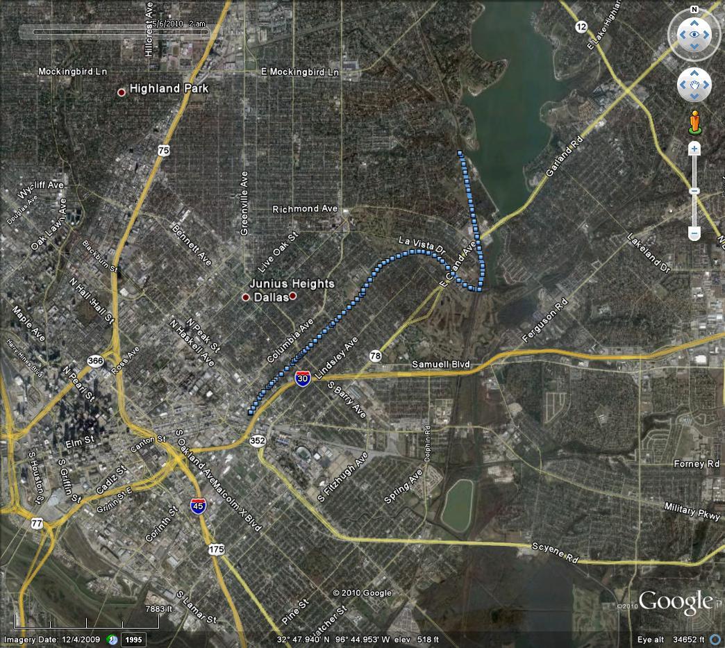
The Dallas Bike Trail Network (visit link)
This cache was placed approximately 3.1 miles from the south end of the trail.
Coordinates determined via 2 minute average with Garmin Montana 700i under clear skies.
See GC99V9K for trailhead coordinates.
