Welcome to Livingston County’s Bicentennial GeoTrail!
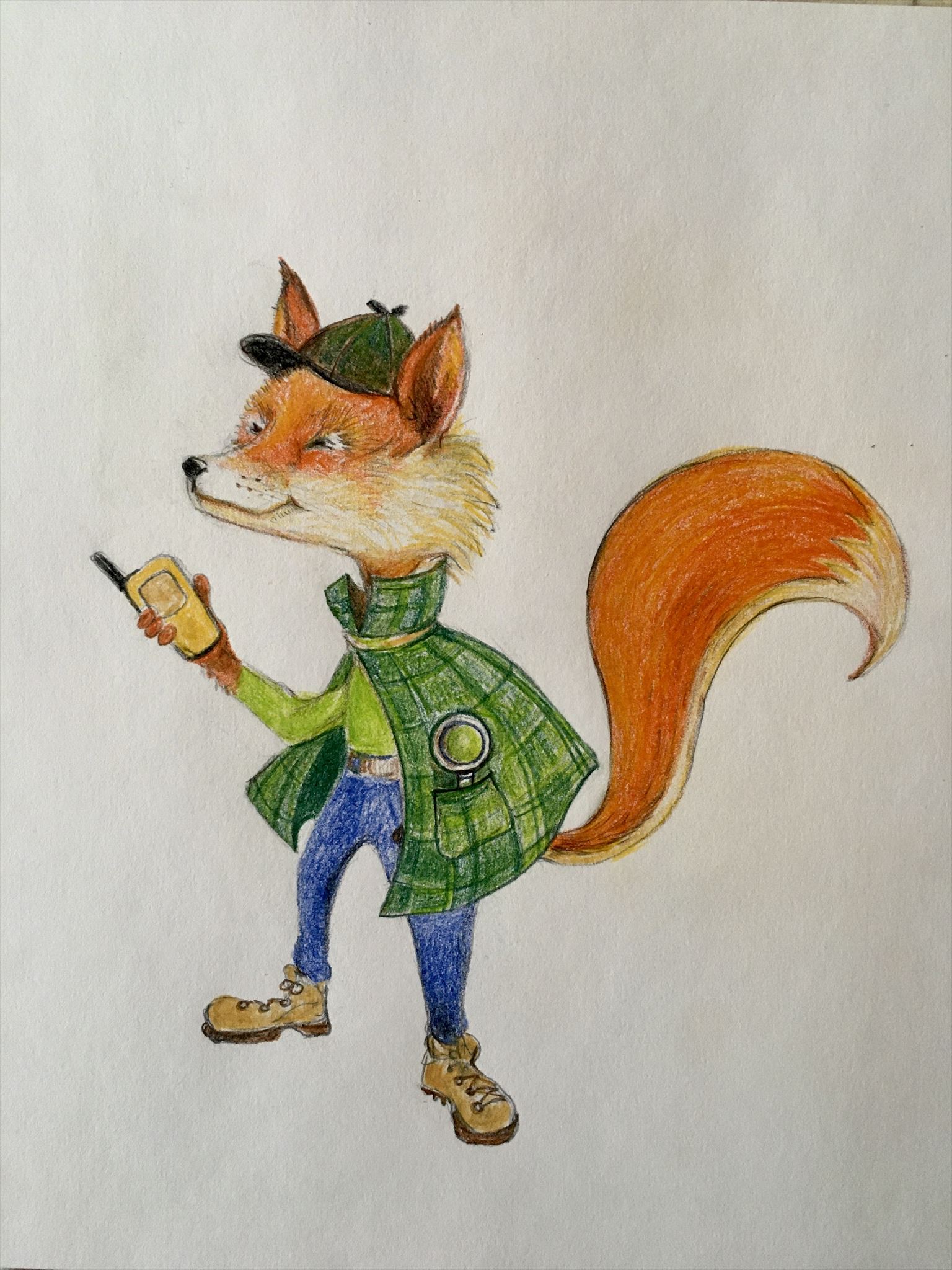
My name is Find R. Fox. I’ll be your guide to super-sleuthing the hides at these amazing, historical locations all around our beautiful 200-year-old county!
To make your travel through history a bit easier, imagine yourself in a Time Machine (your best mode of transportation will do). Set the dial (your gps unit) to the first year (coordinates) listed below, check the waypoints for Parking and push the navigate button! Whirl your way there then switch your coordinates as needed to navigate to the geocache to sniff out the container and sign the log sheet. Good Luck & Enjoy the journey!!
This area falls under the Greenway hours 8 AM - 10 PM.
The Genesee Valley Canal provided transportation between the Erie Canal and the Allegheny River, near Olean. It was intended that boats would be able to continue on to Pittsburgh and then to the Ohio River, the Mississippi and the Gulf of Mexico, but improvements were never made to the Allegheny River in Pennsylvania to allow this to happen.
Nevertheless, the canal provided transportation for the region’s residents and access to distant and lucrative markets for their agricultural products, lumber, coal, and gypsum. Its connection to the Erie Canal also made it easier and cheaper to acquire manufactured goods and other supplies from the industrial centers to the east.
In 1836, the State Legislature authorized the construction of the Genesee Valley Canal from the Erie Canal in Rochester. The canal opened to Mt. Morris in 1840 and a side cut from Mt. Morris to Dansville was completed in 1842. Due to the state’s financial troubles, further construction work was delayed until 1847. The canal reached Nunda in 1851.
The final stretch was the most challenging and took 11 more years to complete. Challenges included: construction of forty-nine locks within eleven miles; the removal of 600,000 cubic yards of resulting in the “Deep Cut” in the town of Portage; and numerous obstacles along the Genesee River gorge. Maintenance of the canal also presented the canal operators with a multitude of problems and expense.
The completed canal was 107 miles long, with an additional 11-mile side cut to Dansville. The dimensions were 43 feet wide at the top and four feet deep. Locks were 90 feet long and 15 feet wide. Passenger boats were drawn by three-horse teams or mules at a speed of about four miles per hour.
In 1878, the Genesee Valley Canal closed as railroad transportation replaced the slower canal boats. Most of the canal route evolved into the Genesee Valley Canal Railroad which became a branch of the Pennsylvania Railroad that went out of service in the early 1960s. The right of way was eventually developed into the Genesee Valley Greenway trail.
The abandoned structure and falling rocks attributes are for the abandoned locks, which you will see are in great disrepair.
Thanks to the Genesee Valley Greenway Manager, Kristine Uribe, for permission to place this cache! Permit #GVGSP21-5. Applied for Renewal permit in 9/22. Finally received Renewal permit in 3/23. New Permit #GVGSP23-2, expires 3/25.
At the posted coordinates is a sign about this man-made marvel. Please use it to solve the puzzle below. Please do NOT count the header for New York
N 42 3D.IGS, W 77 5L.OCK where
D = Number of words in 3rd line
I = Number of locks, 2nd digit - 1st digit
G = In 2nd line, numbers of letters in word directly before and after the number of locks
S = Number of words in 3rd and 4th lines
L = Sum of the digits in the number of locks
O = Number of times the word THE is used minus 1
C = Number of words in 2nd and 3rd lines
K = 2nd digit in year at bottom of sign

You can validate your puzzle solution with
certitude.
For those geocachers not using a checker: D + I + G + S = L + O + C + K
Found cache partially uncovered. Please remember that other people use the greenway, so caches should NOT generally be exposed for all to see. Please replace out of sight.
This cache is 1 of 36 caches comprising the Livingston County Bicentennial GeoTrail (LivCo200) placed in the summer of 2021 in honor of Livingston County’s Bicentennial by members of the local geocaching group called the Bee Hive. For more information about Livingston County’s Bicentennial, visit the County Historian’s Bicentennial web page on the Livingston County New York website at https://www.livingstoncounty.us/1115/County-Bicentennial
