The Hundred of Bremer was proclaimed on 7th August 1851. Government surveyors were sent out to divide the new land into sections for purchase by the pioneer farmers, and to layout the roads of the district. While some effort was made to include any existing infrastructure in the survey, for the most part the sections and roads were laid out in a grid pattern on a map with little regard for any natural obstacles such as rivers and mountains. As a result, some of the surveyed roads were never constructed and many of these unused road corridors are still in existence today.
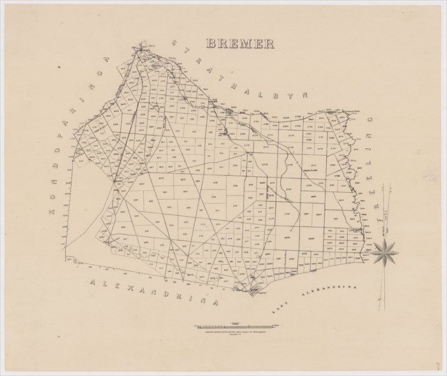
Survey map of the Hundred of Bremer in 1875 (click to enlarge)
Schultz Road was originally surveyed to run from Riverside Road through to Navarino Road (and beyond?) but only small sections at the northern and southern ends were ever built. This cache is located on the southern section.
This cache is a drive by but can only be approached from the south (via Navarino Road). The track is a little sandy so a 4WD would be useful.
This was cache number 1 at June LWE 2021