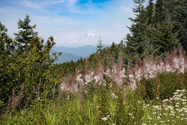
Rainier through smoke haze
On numerous occasions while driving along FR-23 I have wondered about the signs to Lone Tree Mountain. Further east there is also a sign along FR-22. The signs are prominent implying a significant destination. My research provided clues as how to get to the summit but nothing on any history. Field Trip!
I drove FR-5505 from the north pushing through the encroaching vegetation and parked where it was blocked by a rockslide. The route finding to the east then southwest is obvious with some brush and rocky areas. From the landing on the south ridge I proceeded to bushwhack to the top.
The summit area is overgrown and views are through the trees. I found no evidence of human activity until I started down. There are numerous black plastic mesh sleeves (approximately 6” by 12”) scattered in loose sand. I assume they were used in reforesting efforts?
After some thought I decided to place a cache wondering how many others share my desire to explore the deep backcountry. The cache is a small painted container, not much room for trade items but I doubt many kids will visit this location. I thought about bushwhacking straight north to my truck but decided to return via my approach.
So the attraction to Lone Tree Mountain and justification for the signs remains a mystery to me .