
Intersection of Clements Bridge Road and the White Horse Pike, sometime before 1917.
Since they were each built in 1807, the White Horse Pike and Clements Bridge Road have been the gateway to what is now Barrington. One of the earliest settlers was John Hinchman, Jr, who farmed here from 1600 to 1721. This area has known various names since then, including Union Grove (1847 Sydney Map) and Cooper's Corner (Camden Road Return - 1855). However, the area has most often been associated with the Willit family. Charles Willit owned a farm here at least as early as 1857 (County Map - 1857) and his house stood very close to this spot. Various Willits owned property in the area, and that family owned most of the land in what would become the town of Barrington in 1917.
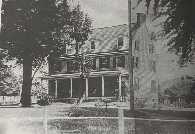
Charles Willits House that stood near this spot.
Today, this area is usually referred to as the Barrington Circle, which was built (according to historic arial photographs) between 1957 and 1963). Unlike other circles that were later cut through, this circle was never a true circle, but was put together as Route 295 was built.

As always, please don't park or stop on the White Horse Pike, it will end badly! There are side roads or parking lots nearby where you can park to complete this one.
To solve this one:
N 39° 52.abc W 075° 02.xyz
abc = number of posts with a "B" on them Northeast of the White Horse Pike at the circle + 525
xyz = number of posts with a "B" on them Southeast of the White Horse Pike at the circle + 908.
checksum = abc + xyz = 1459
Sources:
History of Barrington, New Jersey by the Barrington Historical Society
Nova Cæsarea: A Cartographic Record of the Garden State1666-1888 by Princeton University
Historic Aerials by NetOnline