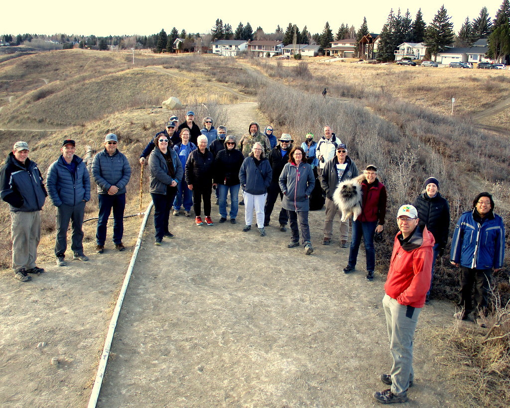
National Surveyors Week FM Crowd
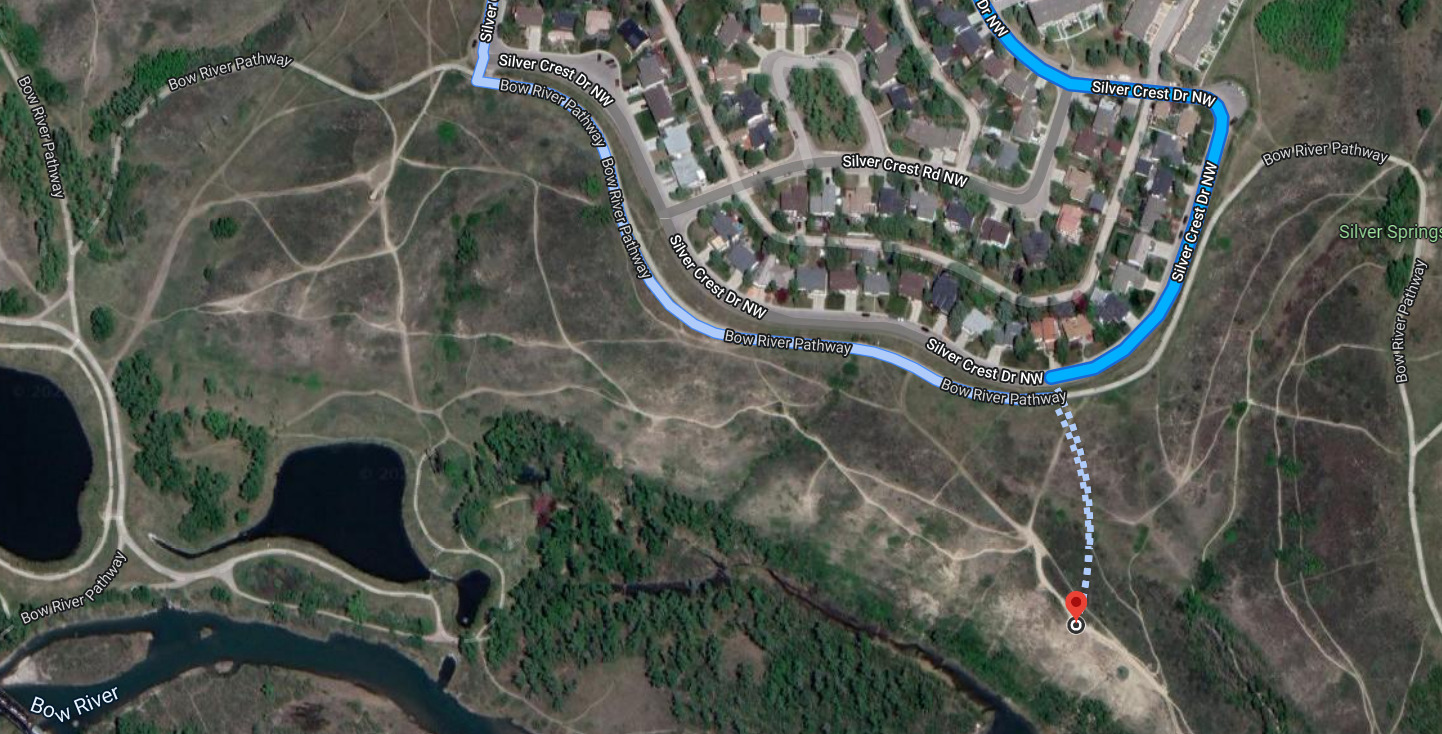
National Surveyors Week FM Event Map
National Surveyors Week FM

Event Description:
1. When: Friday, March 25th, 2022 - 6:00 p.m. through 6:30 p.m. at the FM Event Site.
2. The National Surveyors Week FM will begin at 6:00 p.m. and will last until 6:30 p.m.
3. A group photo will be taken at 6:25 p.m. at the FM Event Site.
4. At 6:30 p.m. we will clean up the site and head back up to the trail head. Be sure to stay with the group on the way back to the car to enjoy the caching stories from the trail!
N.B. Please note the terrain rating for this Event and the fact that it potentially requires off trail travel with uneven and steep terrain, loose rocks, thorns and tree roots. Care and attention will be a necessity in travel from parking to the Event site and especially with the potential of icy conditions along the way.
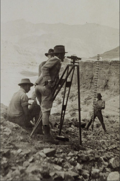
Surveyors at Work
---------------------------------------------------------------------------------------------------------------
A Note from Michael Dennis, Geodesist at the National Geodetic Survey
It is hard to overstate the larger-than-life presence NGS (National Geodetic Survey) has in the surveying profession. Early in my career, I learned the many benefits to be gained by tying my surveys to the NGS National Spatial Reference System (NSRS). Here I want to focus on two related aspects of the NSRS that impacted my work as a surveyor and are undergoing changes today: the State Plane Coordinate System (SPCS) and the foot (not the body part, but the unit of measure).
First, SPCS. Originally created by NGS in the 1930s, SPCS is a system of flat mapping grids that cover entire states or large parts of states. Over the years, it has grown in popularity and is widely used by surveyors. But there is a complication: the distance between a pair of SPCS coordinates is usually shorter than the actual ground distance, often by more than a foot per mile (which is a lot for a surveyor). This "short distance” problem happens because flat models are used to represent the curved surface of the Earth, just like how a paper map gives us a slightly distorted representation of a round globe. The distances are usually too short because the flat models used when SPCS was originally designed could not account for actual ground topography, since detailed elevation models were not available.
Second, the foot. Sometimes, SPCS coordinates disagree because of mix-ups between using the old U.S. survey foot and the new international foot. Through essentially an accident of history, these two types of feet are both used by surveyors. They differ by a miniscule amount (about 1/8 inch per mile), but SPCS coordinates are so large that the cumulative difference can reach several feet. It may seem absurd, but it is a real problem with real costs.
Today, as part of our NSRS modernization efforts, we are updating SPCS, with the (enthusiastic!) cooperation of our customers. The new SPCS is being designed to greatly reduce this “short distance” problem, by using accurate elevation models to represent the actual ground surface. That makes surveyors happy.
NSRS modernization also provides a unique opportunity to fix the onerous dual foot problem. NGS worked collaboratively with the National Institute of Standards and Technology on addressing the issue. At long last, the U.S. survey foot will be retired, eliminating a problem that has persisted for more than six decades.
It is deeply satisfying (and humbling) to be an active part of these two changes, changes that will greatly benefit not only surveyors but the entire geospatial community. For that, I am grateful. Happy National Surveyors Week to all!
--------------------------------------------------------------------------------------------------------------
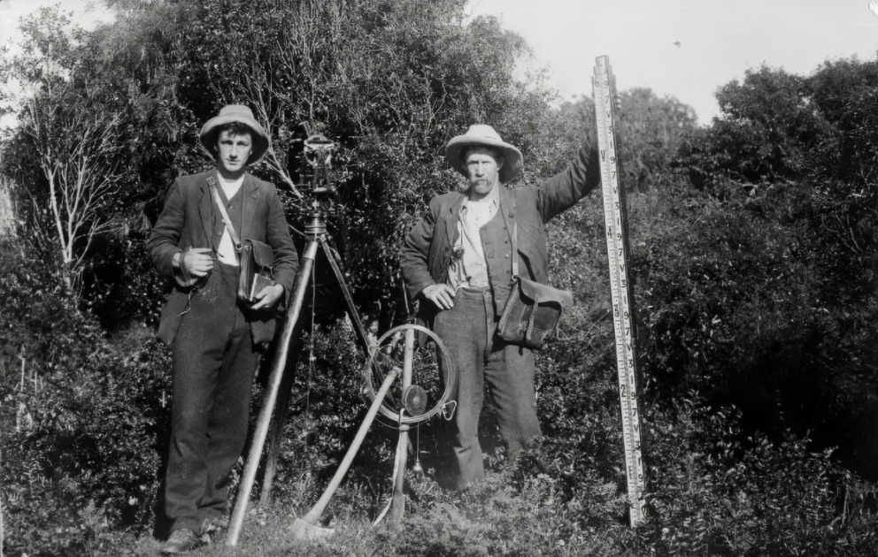
Surveyors at Work 2
As there are currently restrictions on outdoor group sizes this event will be capped at 20 attendees per current Government guidelines. Please give the number attending in your will attend log.
* Registration may need to be limited based on current gathering restrictions.
* No travel bugs
* If you are feeling ill the day of the event, please stay home.
Come on out and enjoy the fun!
A special thanks to OFTH for posting this great survey cap location (BCP014) for the now archived Brass Cap Cache.
View South from the Event Site
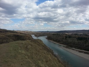
Photo courtesy of brendan714