FI Hangon linnoituksen merkityksekkäin ajanjakso sijoittui 1700-luvun loppupuolelle. Suomen ollessa osa Ruotsia ruotsalaisten rakentaman linnoituksen tarkoituksena oli estää venäjän laivaston eteneminen. Kuningattarenvuoren lisäksi kolme Hangon ulkopuolista saarta linnoitettiin; Gustavsvärn, Gustav Adolf ja Meijerfelt muodostivat risti- tulitukselle soveltuvan kolmion. Venäläiset valloittivat linnoituksen ilman taisteluja 1808 ja jatkoivat linnoituksen varustamista. Hangon linnoitus tuhottiin lähes kokonaisuudessaan Kriminsodan aikana 1854-56.
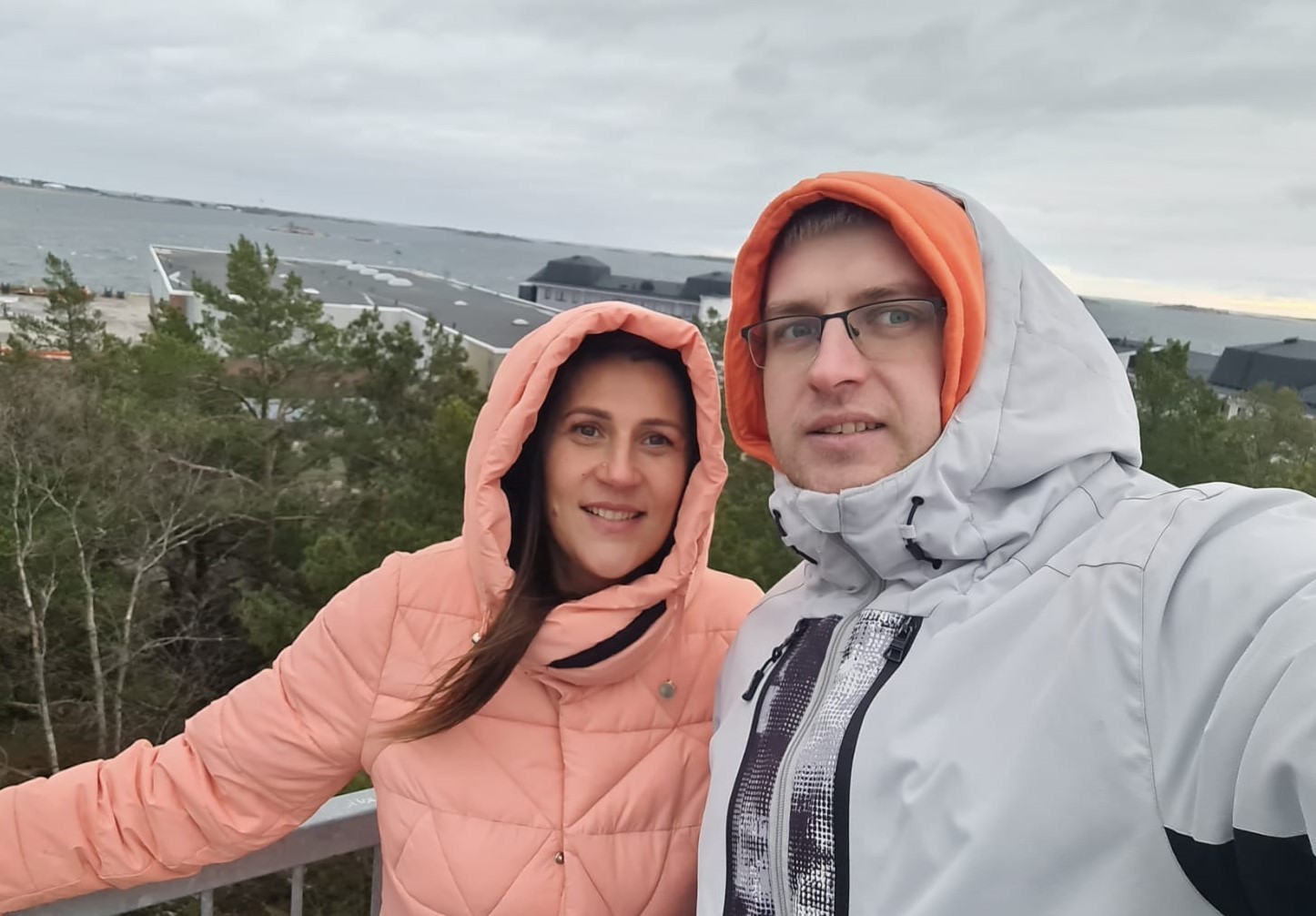
Tämän kätkön rekisteröimiseksi sinun on siirryttävä ilmoitettuihin koordinaatteihin, kiivettävä näkötorniin ja otettava kuva merinäköalalla. Valoja ei ole, ole varovainen pimeässä. Kuvassa on oltava osa sinusta tai GPS-laitteestasi näkötornin päällä. Lisää kuva sisäänkirjautumiseen tai lähetä valokuvalla viesti. Kaikki lokimerkinnät, joilla ei ole vastaavaa liitettä, poistetaan.
EN The most prominent era for the fortifications at the Hanko peninsula was the late 1700s. Finland was a part of Sweden and the Swedish built fortifications were meant to prevent the movement of the Russian fleet past the peninsula. In addition to the ones at Kuningattarenvuori, fortifications were constructed on the Gustavsvärn, Gustav Adolf and Meijerfeldt islands which together could fire across the shipping lanes. The Russians took the fortifications in 1808 and continued the construction work.The fortifications were almost completely destroyed during the Crimean War in 1854-56.
To register this cache, you need to move to the indicated coordinates, climb the observation tower and take a photo with a view of the sea. There are no lights, be careful in the dark. The photo must show part of you or your GPS device on top of the lookout tower. Add a photo to your check-in or send a message with a photo. All logging entries without a matching attachment will be deleted.
LV Visredzamākais Hanko pussalas nocietinājumu laikmets bija 1700. gadu beigas. Somija bija Zviedrijas sastāvdaļa, un zviedru celtie nocietinājumi bija paredzēti, lai novērstu Krievijas flotes pārvietošanos gar pussalu. Papildus Kuningatarenvuori nocietinājumiem tika uzbūvēti nocietinājumi Gustavsvärn, Gustav Adolf un Meijerfeldt salās, kas kopā varēja šaut pāri kuģu ceļiem. 1808. gadā krievi ieņēma nocietinājumus un turpināja būvdarbus. Nocietinājumi gandrīz pilnībā tika nopostīti Krimas kara laikā 1854.-56.
Lai reģistrētu šo slēpni, jāvirzās uz norādītajām koordinātēm, jāuzkāpj skatu tornī un jānofotografējas ar skatu uz jūru. Tur nav gaismu, tumšajā dienakts laikā esiet uzmanīgi. Fotoattēlā ir jābūt redzamam daļai no jums vai jūsu GPS ierīcei uz skatutorņa virsotnes. Pievienojiet fotoattēlu savam reģistrēšanas ierakstam vai nosūtiet ziņu ar foto. Visi reģistrēšanas ieraksti bez atbilstoša pielikuma tiks dzēsti.
Virtual Rewards 3.0 - 2022-2023
This Virtual Cache is part of a limited release of Virtuals created between March 1, 2022 and March 1, 2023. Only 4,000 cache owners were given the opportunity to hide a Virtual Cache. Learn more about Virtual Rewards 3.0 on the Geocaching Blog.