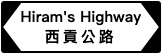
Hiram's Highway (Chinese: 西貢公路) is a road in Hong Kong connecting Sai Kung Town and Clear Water Bay Road. It was built by the army in the very early postwar years as a reward for the resistance by the Sai Kung people during the Japanese occupation.
Wait...Have you ever wondered why it was called Hiram's Highway instead of Sai Kung Highway?
Um...We should ask John Wynne Potts, the Lieutenant of 42 Royal Commando, who built Hiram's Highway.
Sai Kung prior to the war had always been remote and difficult to get to. The only way in was by a footpath or a boat. A Marine Commando, with an engineering background, now had the task of constructing a road. John Wynne Potts, with his company of eighty Marines as well as Japanese and Korean prisoners of war, were set to building the road.
During the war, a lot of American food was shipped or dropped to British troops as part of the Lend-Lease Agreement, and amongst the food supplied to the Commandos was Hiram K. Potts tinned sausages, and Lt. John Wynne Potts loved them. The English love a nickname so he acquired the nickname of Hiram and the highway earned its English name from him.
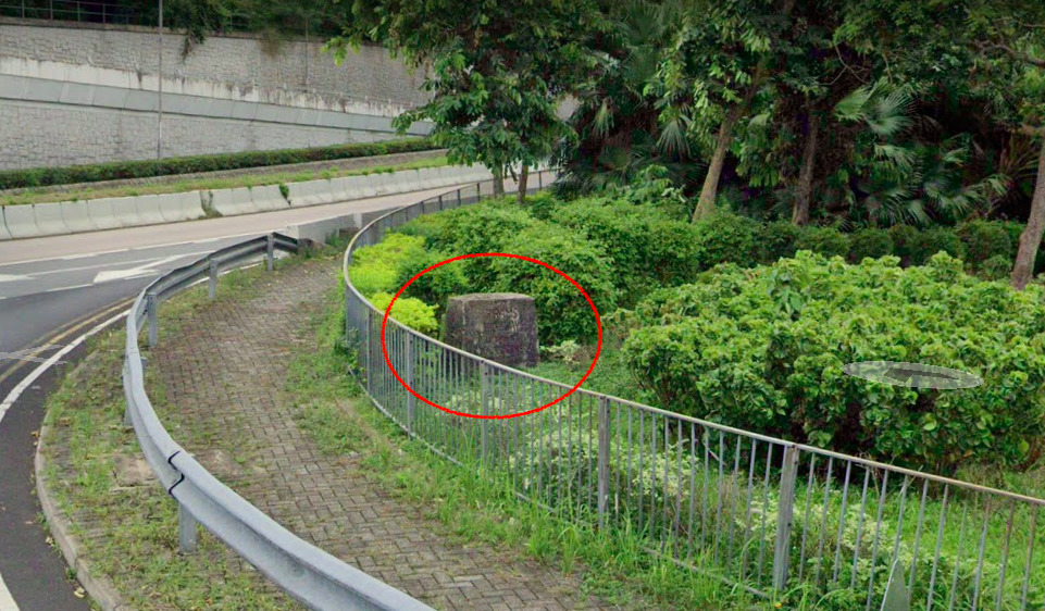
A visiting officer seeing him at work made a sign saying Hiram's Highway and the name stuck. This was replaced later with a concrete block ‘cementing’ its name as Hirams Highway.
Wynne Potts stayed in the Marines for 36 years retiring in 1978. His son later became an inspector in the HK Police and posed by the stone. (See photo)


Hiram's Highway Stone Marker


In fact, it is still there, at the junction of Clear Water Bay Road and Hiram's Highway. Try to catch it when you are on the way to Sai Kung.
The coordinates: N 22° 20.503' E 114° 15.423'
From Google Map street view:
Source: Who Built Hirams Highway