Irrigation canals are crucial for agriculture in central Washington. These canals supply growers with that element that is needed to grow; water. Irrigation canals are a managed resource and are managed by irrigation districts. To understand how an irrigation district works, you need to understand where the district gets its water.The water source servicing the irrigated lands within the district starts at Grand Coulee Dam, located in North Central Washington. The water is pumped up into the Banks Lake Reservoir. At the outlet of Banks Lake Reservoir is Dry Falls Dam, which regulates the amount of water entering into the irrigation project's Main Canal, which runs south from Dry Falls Dam to another reservoir called Billy Clapp Lake, formed by Pinto Dam. The Main Canal continues to a point North and East of Soap Lake, Washington, to the Main Canal Bifurcation. At this point, the Main Canal splits into the East Low Canal and the West Canal. The East Low Canal serves the East and South Columbia Basin Irrigation Districts, while the West Canal exclusively services the Quincy-Columbia Basin Irrigation District.
The cache is located near the West Canal which is managed by the Quincy-Columbia Basin Irrigation District. The QCBID supplies water to over 250,000 acres of land within the Columbia Basin Project. The West Canal is one of the main supply canals that get the water to growers in Grant County.
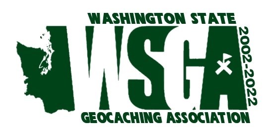
In September 2002, a group of 19 concerned geocachers scheduled a meeting after hearing that the Washington State Parks was considering banning geocaches in the state park system. Out of this meeting, the Washington State Geocaching Association (WSGA) was "born" with its core values of promoting geocaching as a fun, family-oriented outdoor activity that increases awareness and appreciation of the environment and our parks and trails, provide opportunities for participants to enjoy geocaching and to socialize with other geocaches, educate park systems and land managers about geocaching and its benefits, increase awareness and support of the geocaching through interaction with other outdoor groups and the public, encourage low-impact geocaching and promote stewardship of our natural resources, and support "Cache In Trash Out" activities to help maintain parks and trail systems.
In 2022, the WSGA turns 20 years young. To celebrate this milestone, the WSGA is hosting a 20th-anniversary GeoTour. This GeoTour will give you the opportunity to travel to all corners of the Evergreen State while you search for 140 GeoTour caches. To make it easier to tackle such a large GeoTour, each of our 7 regional chapters will host a bite-sized GeoTour consisting of 20 GeoTour caches with the entire GeoTour consisting of 140 caches. To learn more about our GeoTour, please visit the GeoTour page on our website which you can find HERE. We hope that you enjoy getting back out on the road while touring around Washington State. If you have any questions about our GeoTour, you can reach out to us via the contact tab on our website.
GEOTOUR UPDATE
The WSGA's 20th Anniversary GeoTour will end on December
31, 2024, at
11:59pm PT.
You will only have until this date and time to find the
geocaches, post all of your logs for the digital souvenirs (if qualified), and
submit all of your passports of unique codes for the geocoins (if qualified).
There will be no exceptions.