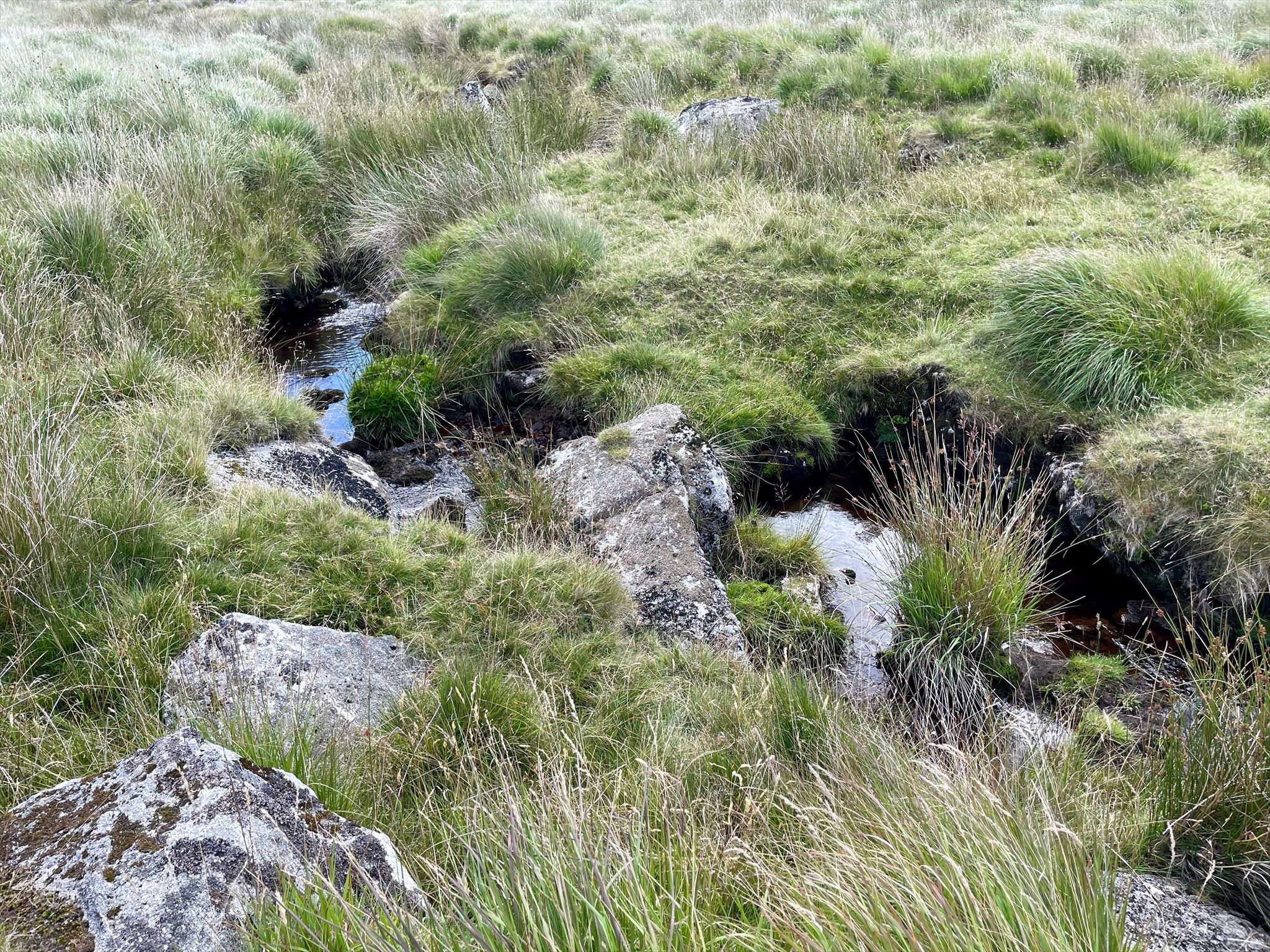
As you can see from the photo, the Tavy is not very wide at this point! An amazing river which grows very quickly into what can become a raging torrent when in spate as it descends from the height of its source near Cut Hill. It has been described as the second steepest river in England, although this is difficult to verify.
Please Note: This is a Military Training Area on which live firing and other pyrotechnics may be used. The area is generally open public access. One of the safety rules for public access is:- Do not, (and ensure that children do not) approach, touch or pick up any metal objects lying on the ground. Please obey all bylaws and locally posted information concerning times when the area may be closed. These may be physical barriers, marker posts, flags, lights or manned control posts.
The weather on Dartmoor can change suddenly and unexpectedly and ALL types of weather conditions can be experienced. Please ensure that you have the correct clothing and map & compass (and know how to use them). Please do NOT rely solely on your GPS.
I would like to thank the Dartmoor National Parks Authority for their kind permission to place this cache which complies with their geocaching guidelines.