This has a difficulty of 2 because it has two points to find. The first point is the monument at the above coordinates and the second is the grave of James Frank Gardner at: 39 23.587, -104 45.075.
Cemetery gate location: 39 23.483, -104 45.139. Remember to close the gate.
Franktown came into being in 1859 when James Frank Gardner established the California Ranch south of present Highway 86. The ranch had a stage stop, a jail and a courthouse. In 1874, Castle Rock became the county seat. They got the county seat and Gardner's courthouse. There was no road between Franktown and Castle Rock so they had to haul it north, up the valley to current Stroh Road, west across the valley and hills and came out about a mile north of Castle Rock. The courthouse still stands in Castle Rock on Fourth Street near the current courthouse.
In 1863, the town burned down, save one building, which still stands. It is west of the monument and at the south end of Kelty Road.
When the Indians went on the warpath in 1864, a fort was built on the west edge of Franktown straddling Cherry Creek. Until a few years ago, posts were still visible.
At first, Franktown was called Frankstown until around 1900 when the post office dropped the 's'.
To claim this geocache, message what the monument is made of and the dates on the stone to the left of James Frank Gardner’s stone. Also, mention one item of information that you find interesting.
Photos are fine.
As of 05/23/2021, the monument has been demolished. Pending it's reconstruction, only answer the question about the dates on the stone to the left of James Frank Gardner’s stone.
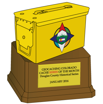
Thanks Geocaching Colorado for the Geocache of the Month Award, as the second series to win!