There is room for parking along the side of the road but always be aware of traffic.
The Continental Divide
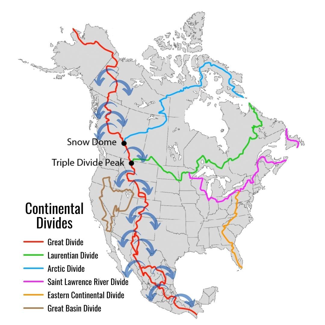
The Continental Divide, also called the Great Divide, is mostly a mountain ridge in western North America. The Continental Divide extends from the Bering Strait to the Strait of Magellan, and separates the watersheds that drain into the Pacific Ocean from the watersheds that drain into the Atlantic and Arctic oceans.
The Continental Divide runs along the Rocky Mountains. It runs along the border between British Columbia and Alberta in Canada, and through the states of Montana, Wyoming, Colorado, and New Mexico in the United States. The central point is the state of Colorado, where the divide is made up of many peaks above 13,000 feet (3,962 meters). The divide continues southward into Mexico and Central America.
The highest point of the Continental Divide is Grays Peak in Colorado at 14,278 ft.
The lowest point in the Continental Divide (not counting the Panama Canal) is 154 ft at the Isthmus of Rivas in Nicaragua.
In New Mexico, the Continental Divide runs through the western side of the state, following the spine of mountain ranges. The posted coordinates are near the southern end of the Big Burro Mountains. The Big Burro Mountains are part of the Mazatzal province, a block of the Earth's crust that began as a island arc and collided and merged with North America around 1650 million years ago. Great bodies of magma were intruded into the older rock around 1460 million years ago and cooled underground to form granitic batholiths, including the Burro Mountain granite. Around 70 to 80 million years ago, the Laramide Orogeny began. During this time period, faulting uplifted a large block of crust to form the Big Burro Mountains.
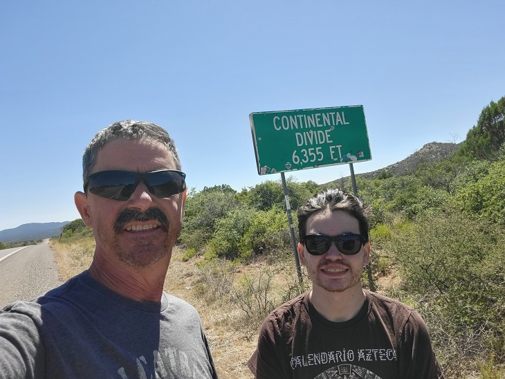
Logging Pic Example:
LOGGING REQUIREMENTS
In order to log this EarthCache, send me your answers to the following questions either through email or messaging from my profile page.
1: Looking to the North, East, South and West, Describe the terrain and if it is higher/lower elevation in those directions.
2: Based on your observations in #1 and the information on this cache page, how do you think the fault line runs? Example: North/South or East/West?
3: Post a pic of you or something with your caching handle on it with the Continental Divide sign in the background (see example pic above) THIS IS REQUIRED!
Sources:
https://en.wikipedia.org/wiki/Continental_Divide_of_the_Americas
https://www.geographyrealm.com/north-american-continental-divide/
https://www.usgs.gov/media/images/26548jpg
| I have earned GSA's highest level: |
 |