Three Creeks Confluence EarthCache
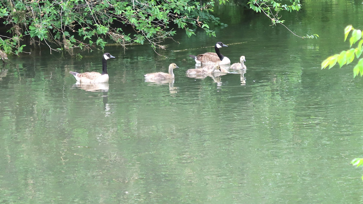
Three Creeks Confluence Park (Click the images to enlarge)
Photo: Seawind
This is an EarthCache, a special type
of geocache. There is no physical container to find or logbook to sign.
Instead, the object is to read the information below, visit the listed
coordinates and answer some questions based on your experiences. To get
credit for "finding" the cache, you will need to send your answers to
the cache owner, which you can do by clicking "Message this owner" near the top
of this page.
The coordinates of this cache will
take you to one of Salt Lake City's newest parks - the Three Creeks Confluence
Park. There is limited parking along 900 West, or enjoy the nice walk or
ride along the Jordan River Parkway from the north or south to this location.
The Park is ADA accessible and is open 5 AM to 10 PM. Leashed dogs are
welcome.
Confluence!
What is a confluence? The
English definition is, "a coming or flowing together or meeting". However,
this EarthCache focuses on the earth science definition:
Confluence: The location where two or more flowing bodies of water
join to form a single channel.
When you visit
this cache site, you will be at just such a confluence. Whereas most river
confluences feature one river flowing into another, this site features a full
THREE streams joining a larger river. Specifically, this is where Red Butte
Creek, Emigration Creek and Parley's Creek join the Jordan River.
In the photo
above, the foreground water is the Jordan River and the smaller river joining it
under the bridge is the combination of the three creeks. You can get a
good understanding of the four waterways from this map (your location is the red
star):
Creeks-to-River Map
Photo: Seawind (from Park plaque)
Although the
EarthCache site is very much urban, the water from the creek you see here
originates from three rugged Wasatch Mountain canyons east of Salt Lake City.
Red Butte Canyon, Emigration Canyon and Parley's Canyon were formed 60 to 90
million years ago when rock layers folded and thrusted along the Wasatch Front,
forming the canyons. Snowmelt from each of these canyons flows to the
canyon floor and then downhill through the valley, eventually joining the Jordan
River at this park. The Jordan River continues to flow north and west and
feeds into the Great Salt Lake.
Aerial view of the Confluence (Google Earth)
In the aerial view
above, note that the confluence occurs at a sharp bend in the Jordan. The
park features one bridge over the Jordan and another over the inflowing three
creeks, providing many vantage points of the confluence. Note that the
Jordan River is all above ground, while the creeks flowing into it emerge from
underneath 1300 South. In fact, much of the three creeks' flow across the
Salt Lake Valley to this point is buried underground, an excellent example of
how the needs of humans have had major long-term impacts on geology. As
noted on plaques in the Park, recent efforts are being made to bring streams
back above ground, a process known as stream daylighting.
As more and more
streams and rivers around the country, including the four which meet at this
confluence, are returned to their natural above-ground states, the benefits they
provide are also restored. The benefits of water naturally passing through
sand and soil include water purification and the removal of contaminants as well
as reduced flooding and enhanced wildlife habitats.
Terminology and Science
You now know that
a confluence is the location where two or more water flows join to form a single
flow. Another term used for confluence is conflux. The
larger river or stream is called the main stem, while the smaller river
or stream joining it is the tributary. For the location you are
visiting, the Jordan River is the main stem and the three creeks joining it are
the tributaries.
A confluence can
also occur within a single river. Imagine a river with a large island in
the middle. When the river flow reaches the island, some water passes on
one side, and some on the other, splitting the river into two. At the
downstream side of the island, the two channels rejoin to form the same, single
river. The point of rejoining is the confluence.
Tributaries are
classified as either a left-bank tributary or a right-bank
tributary. This indicates on which side of the river,
as you face downstream, the
tributary joins the main stem.
There is also an
opposite to a tributary - a distributary. As you might guess,
this is where a stream or river branches off from the main stem to form a
separate river or stream. This process of river separation is called
river bifurcation.
The major rivers of the world often
have hundreds or even thousands of tributaries feeding into them. For
example, the huge Mississippi River has over 7,000 tributaries, originating over
a vast expanse of the United States. This diagram illustrates this amazing
system of waterways:
The
Jordan River, on the other hand, has only seven major tributaries. In
addition to the three that enter at this cache site, Little Cottonwood Creek,
Big Cottonwood Creek, Mill Creek, and City Creek feed the Jordan.
River confluences are often very dynamic locations. Inflowing tributaries
can have dramatic impacts on the main stem, including changes in temperature,
chemistry, mineral content and characteristics of water flow, such as speed and
the creation of vortices (the singular word is vortex -
a powerful circular current or whirlpool in the water).
Another
common impact of confluences on rivers is the formation of scour holes.
These are holes in the riverbed where sand and rocks are washed away from the
river bottom. They are caused by the often dramatic mixing of water flows
just downriver from the confluence. Scour holes can lead to extensive
erosion damage to the river's banks and are a major engineering concern for the
builders of bridges and other river structures.
Geology of the Jordan River
From either of the bridges in the park, you will have an excellent view of the
main stem (Jordan) river as it passes this location. The Jordan River
flows northward for 50 miles through the Salt Lake Valley, originating at Utah
Lake and emptying into the Great Salt Lake. One of the major geological
features of rivers is demonstrated at this EarthCache site. From your
viewpoint, and particularly in the aerial view of the confluence included above,
you can see that it makes a major bend of over 90 degrees here.
What causes rivers to bend like this? The more technical term for a river
bend is a meander. When a river passes through rocky terrain, its
meandering is usually not very extensive. But, where rivers pass through
areas with looser materials such as dirt and sand, they tend to form much more
significant bends. That is the case with the Jordan River as it passes
through the Salt Lake valley.
Specifically, the flow rate of a river's water varies. Where it is faster,
a greater amount of riverbank material is dislodged and moved downstream (a
process called erosion). This begins the formation of a curve.
On the outside of the curve, water flows faster than on the inside. The
eroded material tends to be deposited on the inside of the curve (a process
called sedimentation). Over time, the processes of water
movement, erosion and sedimentation cause a river's meandering to become more
and more pronounced.
If
you are interested in a good visual demonstration,
click here for a short YouTube video.
As
described earlier, river confluences have their own set of complex impacts on
the main stem river which add to the effects of erosion and sedimentation.
Tributaries often enter rivers on the outside of bends forming a junction known
as a confluent meandering bend which is exactly the case at this
location.
As
you visit this EarthCache site, take a moment to appreciate the many geological
forces demonstrated here and how they interact to alter the landscape.
These same forces are at play worldwide, often on a much larger scale,
significantly changing how humans must adapt to their surroundings.
Thank
you for visiting this unique location. I hope your day will be a
confluence of enjoyment, fulfillment and adventure!
Your turn! Take a photo and
answer a few questions:
1 - Please include a photo in your
Found It log to show that you have visited the site. It should be taken
from one of the bridges overlooking the confluence and can be of you, a member
of your party, your GPS receiver, geodog or geobike.
For the following questions, please supply the answers directly
to the cache owner by clicking "Message this owner" at the top of the page.
Please DO NOT include your answers in your "Found it" log.
2 - You have been observing a river
confluence. What other examples of confluences can you think of, both
manmade and natural? Try to include an example or two of other confluences
that might involve water and the natural world around us.
3 - Observe the confluence and the
amount of water in both the Jordan (main river) and the three creeks
(tributary). You can deduce that the Jordan has considerably more water
after (north) of the confluence than before it. By what percent,
approximately, would you guess the amount (volume) of water flowing in the
Jordan increases here?
4 - Standing on the bridge of the
tributary (the bridge running north and south), observe the water surface to the
west where the two rivers meet. Can you detect any difference in the water
surface here, such as different currents? There are likely to be more
dramatic currents in the spring and early summer when melting snow in the
mountains greatly increases the amount of water in the rivers.
5 - Is this a left-bank tributary or
a right-bank tributary?
6 - Can you
see any differences in the water in each river? Think about differences
that you can't see as well. Might the inflowing water be a different
temperature or chemical/mineral composition than the water in the Jordan? There
are no right or wrong answers here, just your observations!
7 - On the tributary
(north/south) bridge, note the wonderful artwork displayed along the edges of
the bridge. What type of confluence is depicted in the panel by Lola
Reyes?
Sources of Information Used:
Friends of the Mississippi River: Confluences
National Geographic: Tributary
Salt Lake County: Jordan River Watershed
Wikipedia: Jordan River (Utah)
Science Alert: Scour Depth at River Confluences
USGS Find-A-Feature: Confluence
Wikipedia: Main Stem
The Fluvian Dynamics of Confluent Meander Bends
"Cheerio" Photo: Seawind