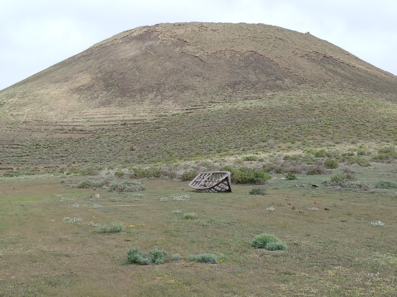
FR. Le bateau de Noé a été retrouvé à Lanzarote ! EN. Noah's boat has been found in Lanzarote! ES. ¡El barco de Noah ha sido encontrado en Lanzarote!
ES. Circuito Haria – Archipiélago Chinijo - Haria
La ruta que aquí se propone bajo el nombre de "Haría – Archipiélago Chinijo - Haría" tiene una longitud de unos 16 km (14,2 km llanos), tiene un desnivel acumulado de 630 metros y regresa al punto de partida, al pie de la Plaza de Haria.
Este paseo atraviesa el Parque Natural Regional y ofrece una maravillosa vista del Río, la Graciosa y las otras islas y acantilados.
Hay 15 cachés repartidos por toda la caminata.
FR. Circuit Haria – Archipiélago Chinijo - Haria
La randonnée proposée ici sous le nom de « Haria – Archipiélago Chinijo - Haria » fait environ 16 km (14,2 km à plat), a un dénivelé positif cumulé de 630 mètres et revient au point de départ, au bas de la place d’Haria.
Cette balade traverse le parc naturel régional et donne une merveilleuse vue du Rio, de la Graciosa et des autres îles et des falaises.
Il y a 15 caches réparties sur le parcours.
EN. Circuit Haria – Chinijo Archipelago - Haria
The hike proposed here under the name "Haria – Archipiélago Chinijo - Haria" is about 16 km long (14.2 km flat), has a cumulative elevation gain of 630 meters and returns to the starting point, at the bottom of Haria Square.
This walk crosses the Regional Natural Park and gives a wonderful view of the Rio, the Graciosa and the other islands and cliffs.
There are 15 caches spread across this hike.
Visualisation générale du parcours / Vista general de la caminata / General view of the hike

Détail du Parcours / Detalle de la caminata / Detail of the Hike
FR. Tronçon 5 : Cache 4 > Cache 5 / ES. Sección 5 : Caché 4 > Caché 5 / EN. Section 5 : Cache 4 > Cache 5.
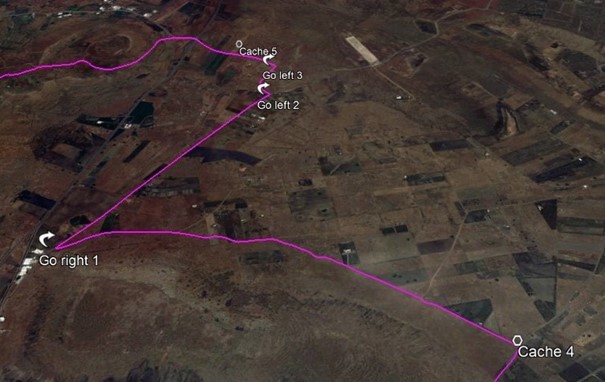
FR. Depuis la cache 4 poursuivre la piste jusqu’aux dernières maisons de Maguez, tourner à droite (Go right 1). Après environ 950 mètres, tourner à gauche (Go left 2). Poursuivre la piste principale (Go left 3) et chercher la cache 5.
ES. Desde el caché 4 continuar por la pista hasta llegar a las últimas casas de Maguez, girar a la derecha (Ir a la derecha 1). Después de unos 950 metros, gire a la izquierda (Vaya a la izquierda 2). Continúe hasta la pista principal (Vaya a la izquierda 3) y busque el caché 5.
EN. From cache 4 continue along the track until you reach the last houses of Maguez, turn right (Go right 1). After about 950 meters, turn left (Go left 2). Continue to the main track (Go left 3) and look for cache 5.
Localisation Google Maps :